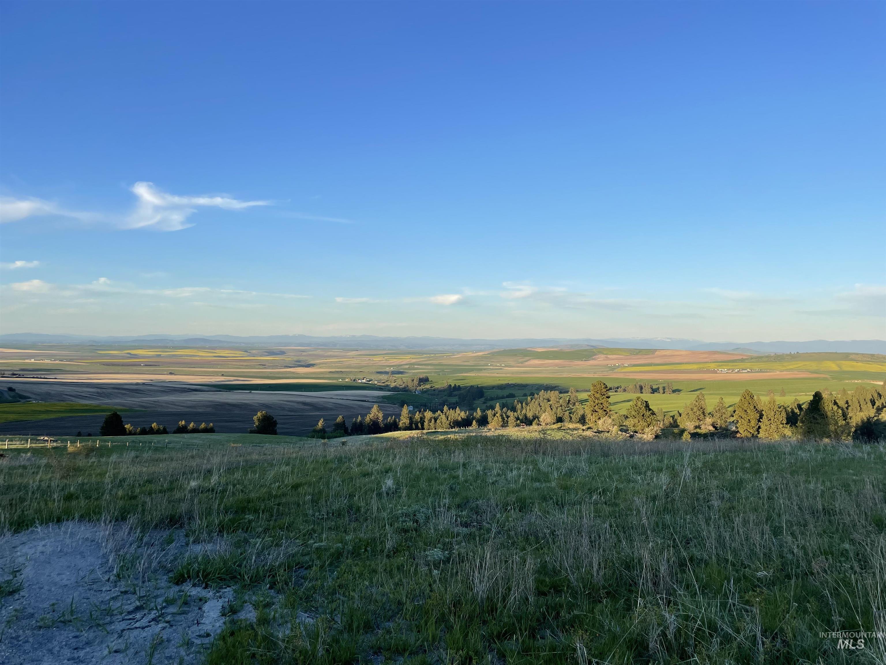
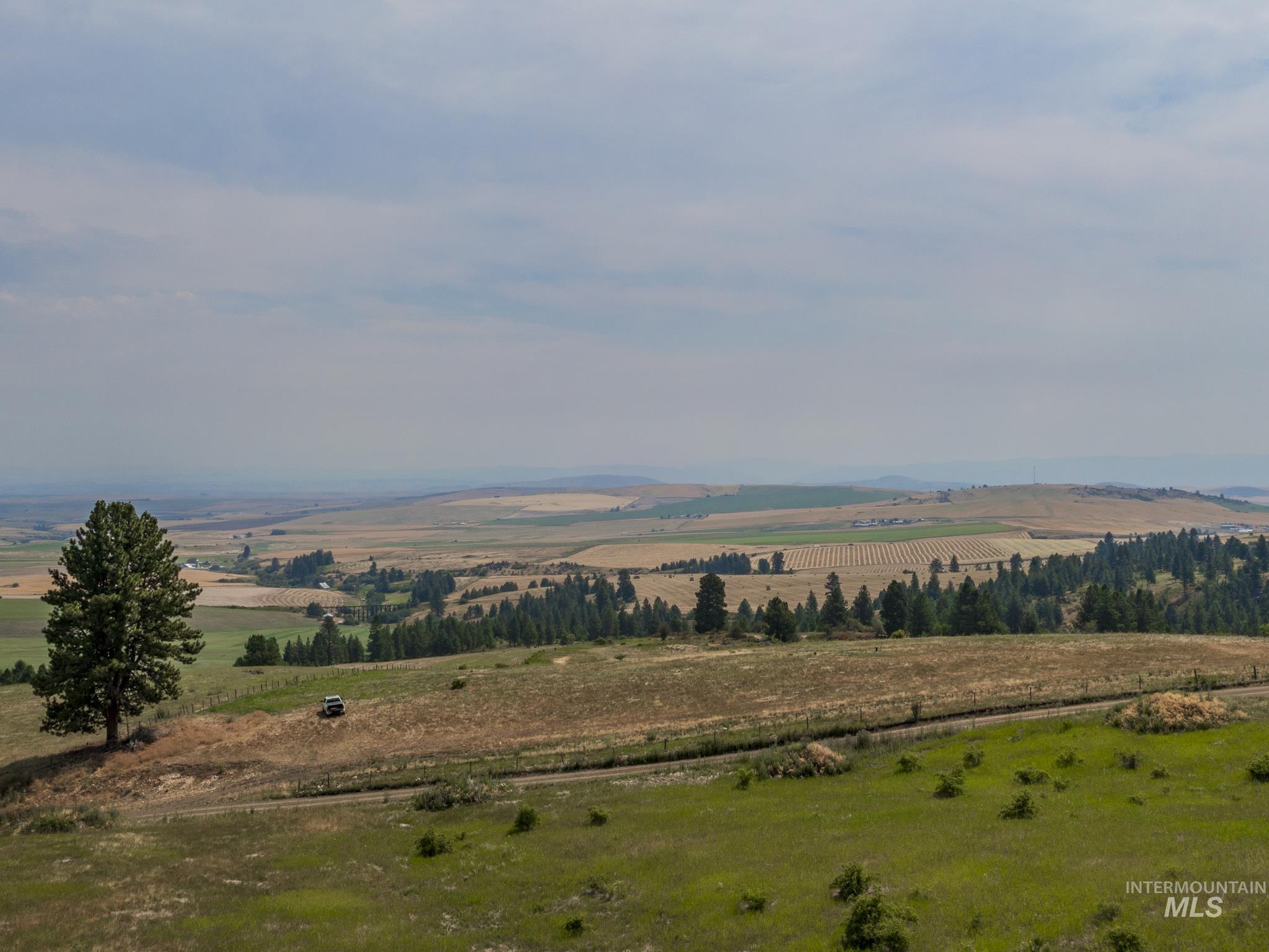
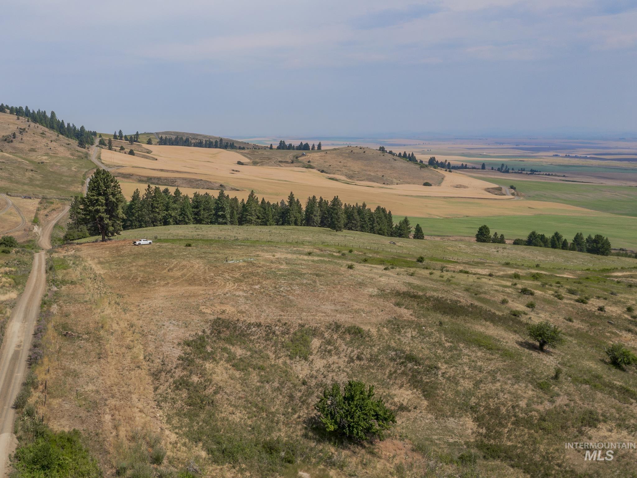
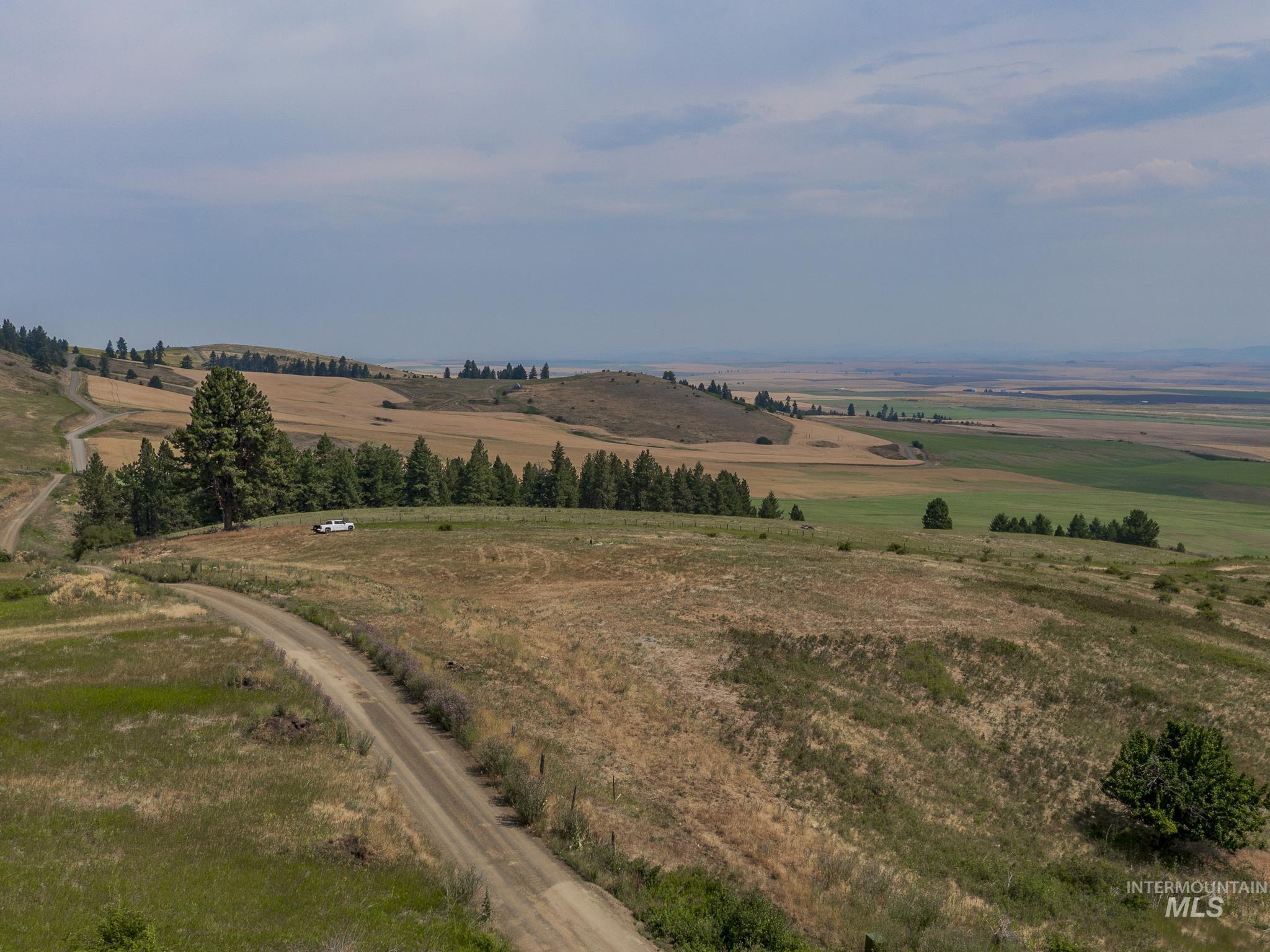
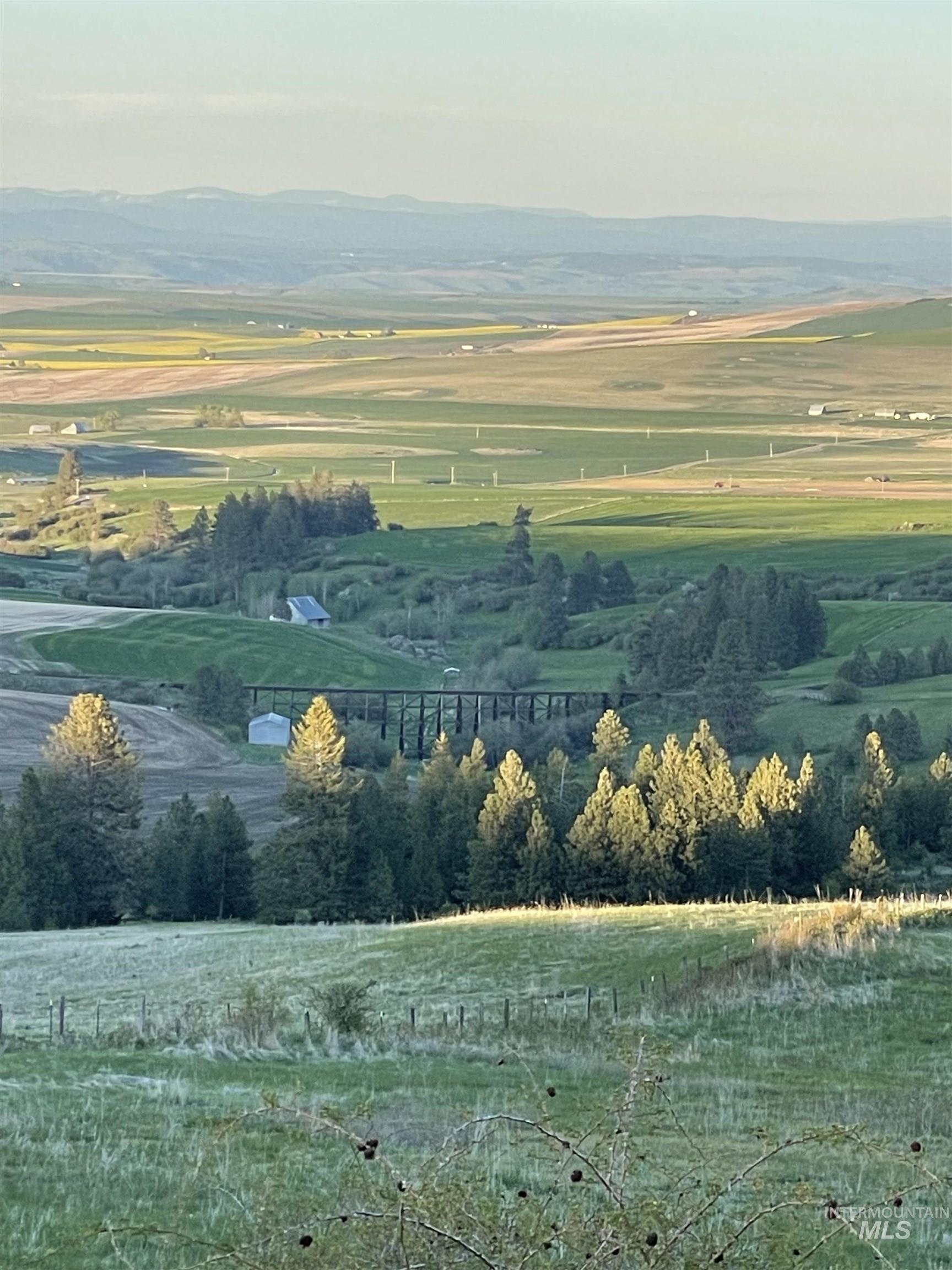
Vacant grassy land overlooks rolling farm fields and distant ridges in warm evening light.
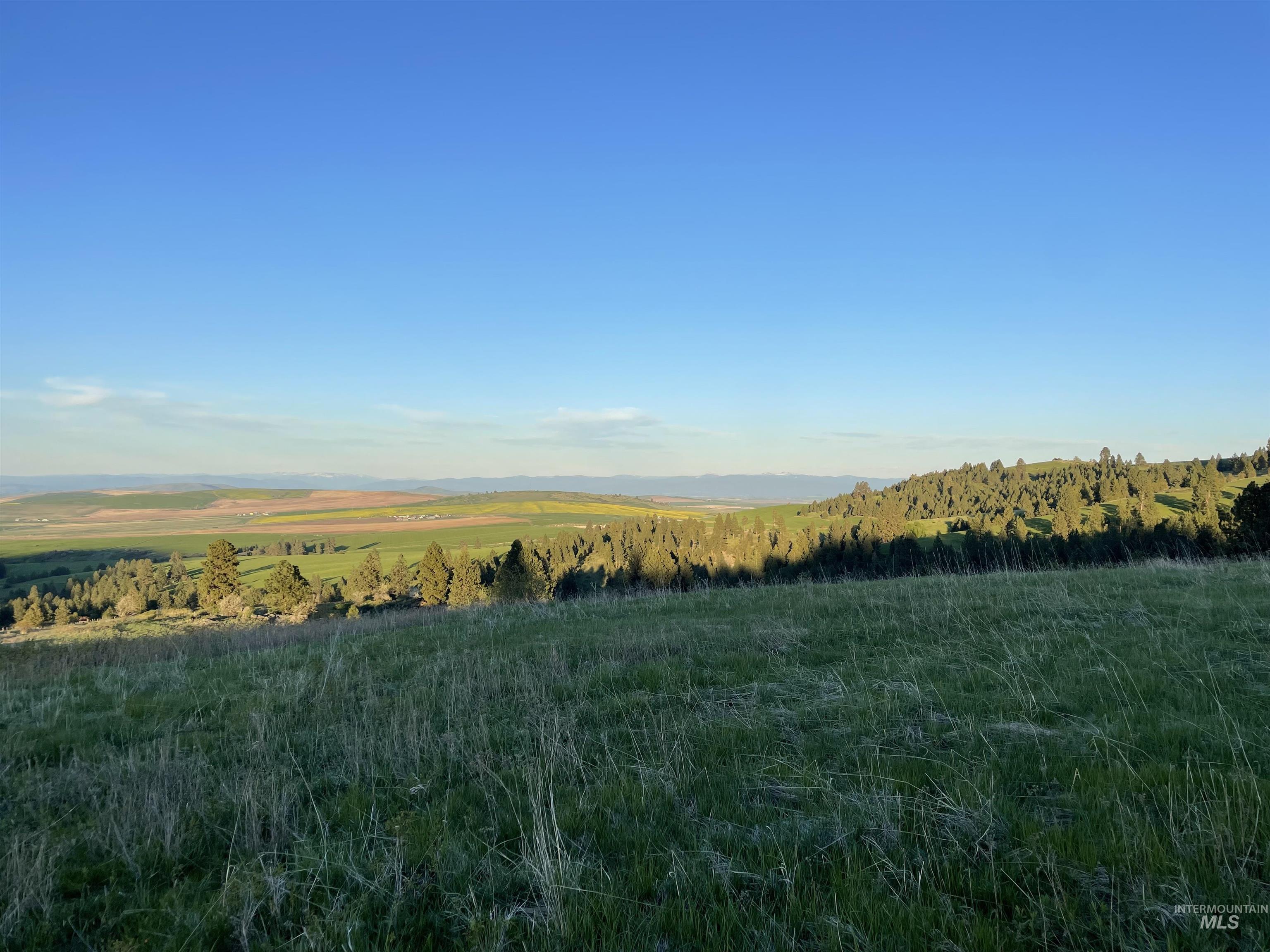
Rolling rural land with grassy foreground, evergreen hills, fields, and distant mountains.
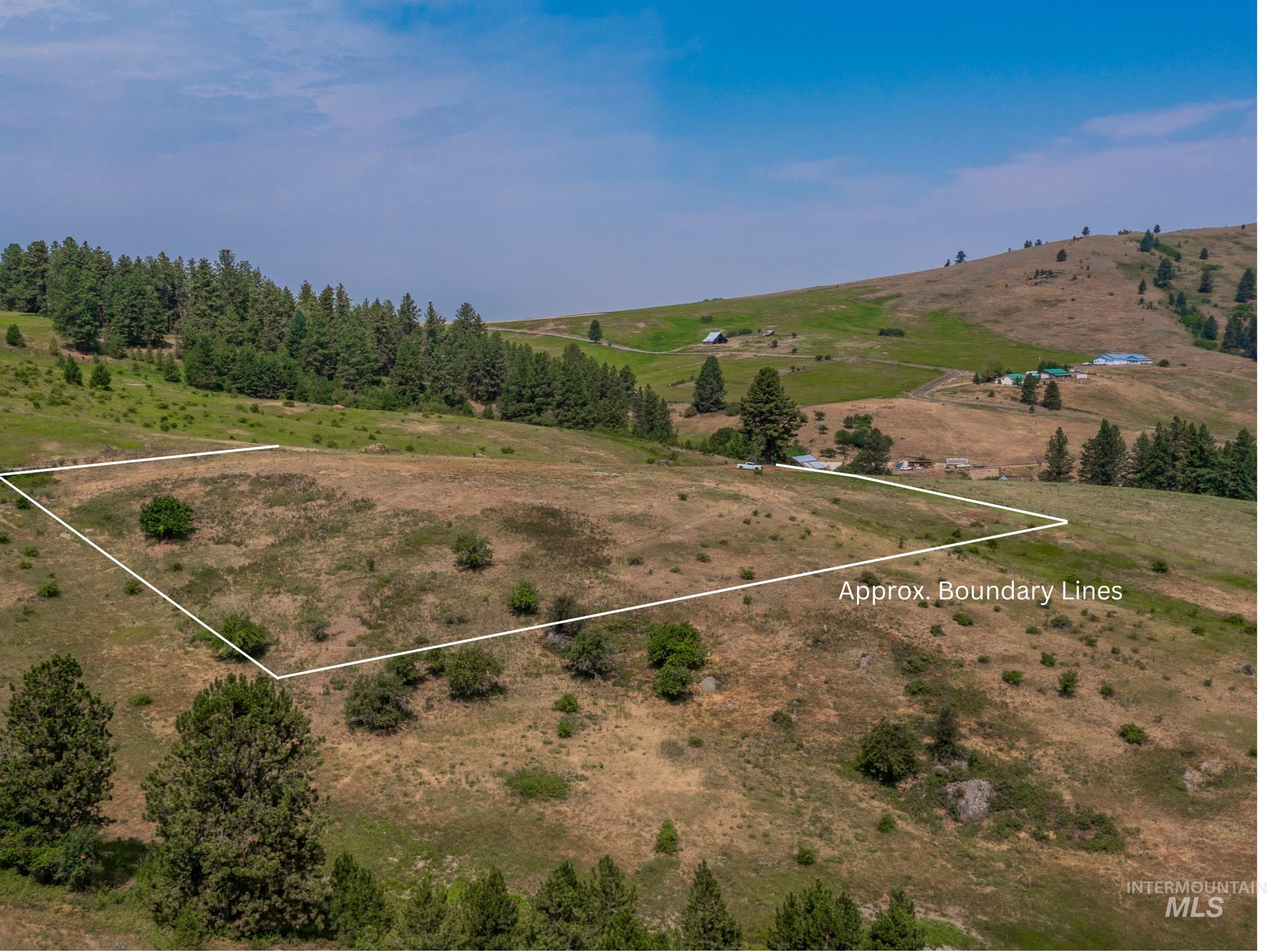
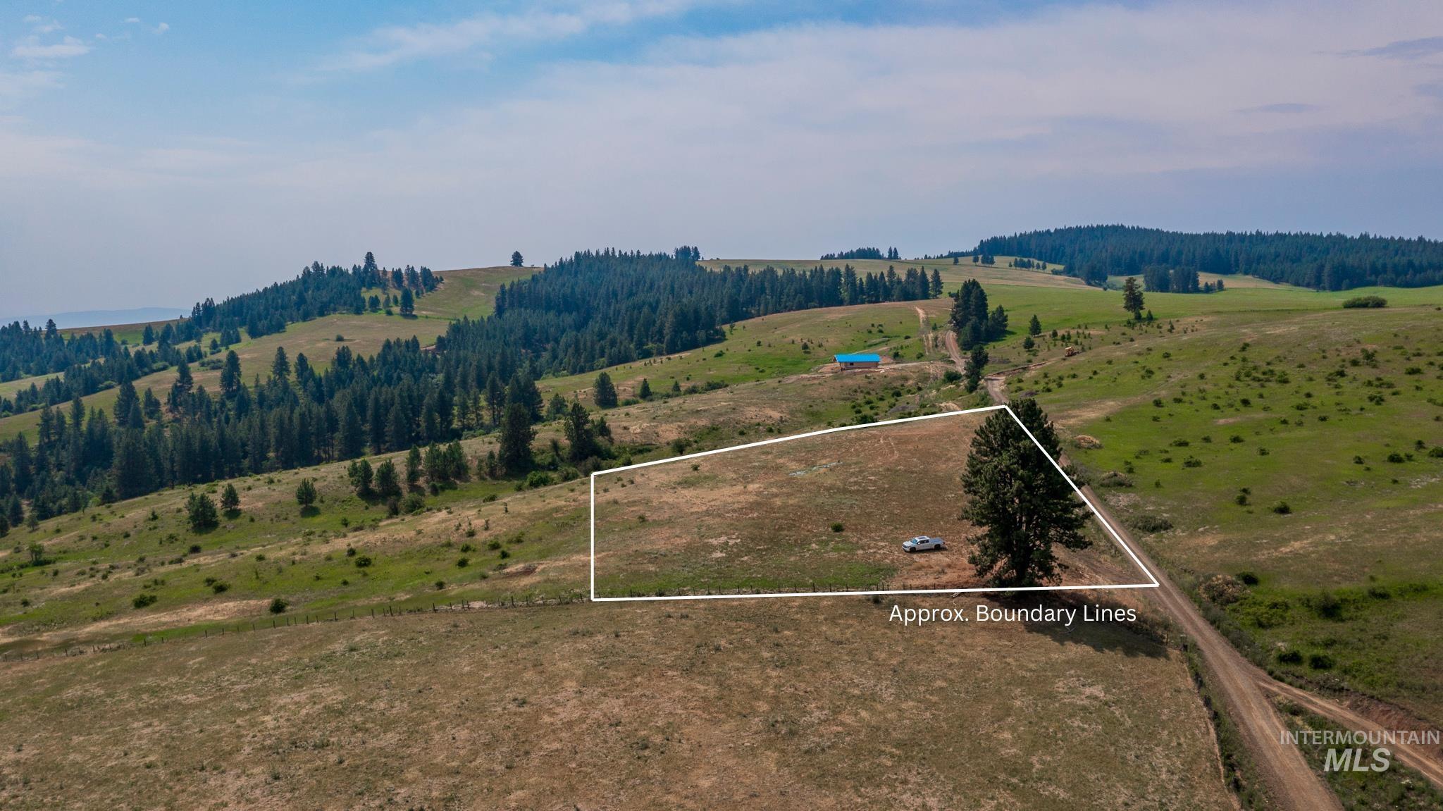
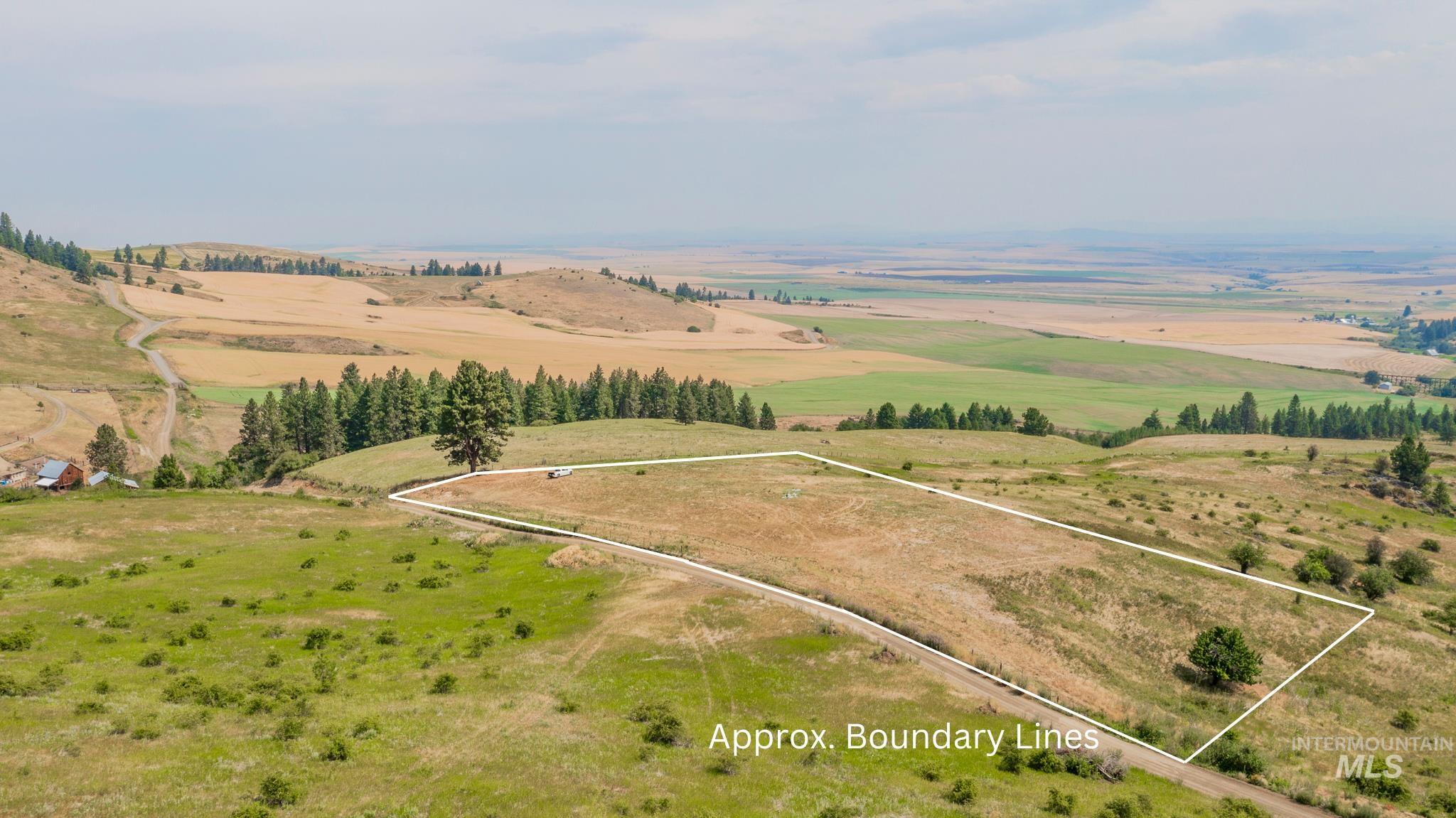
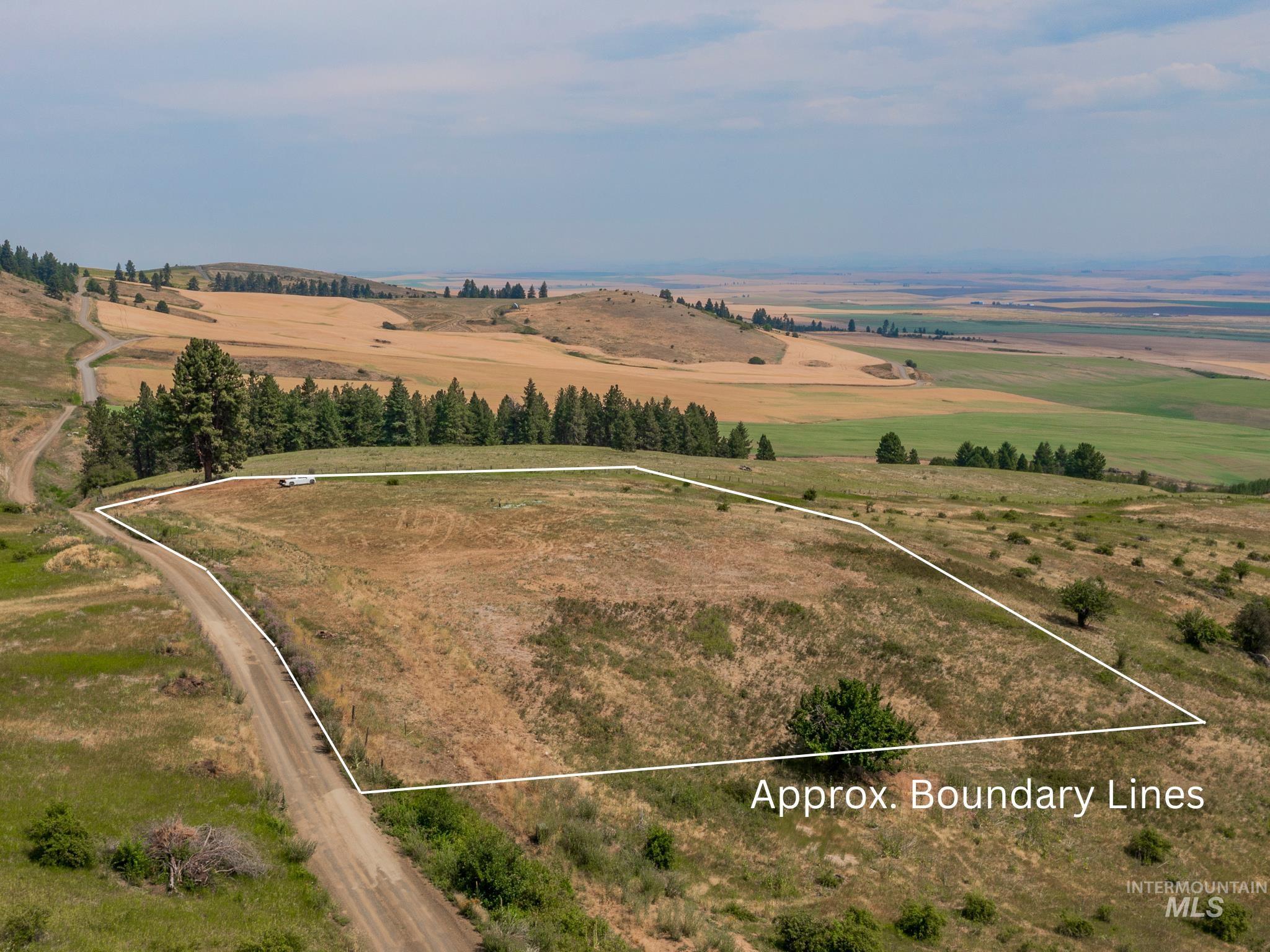
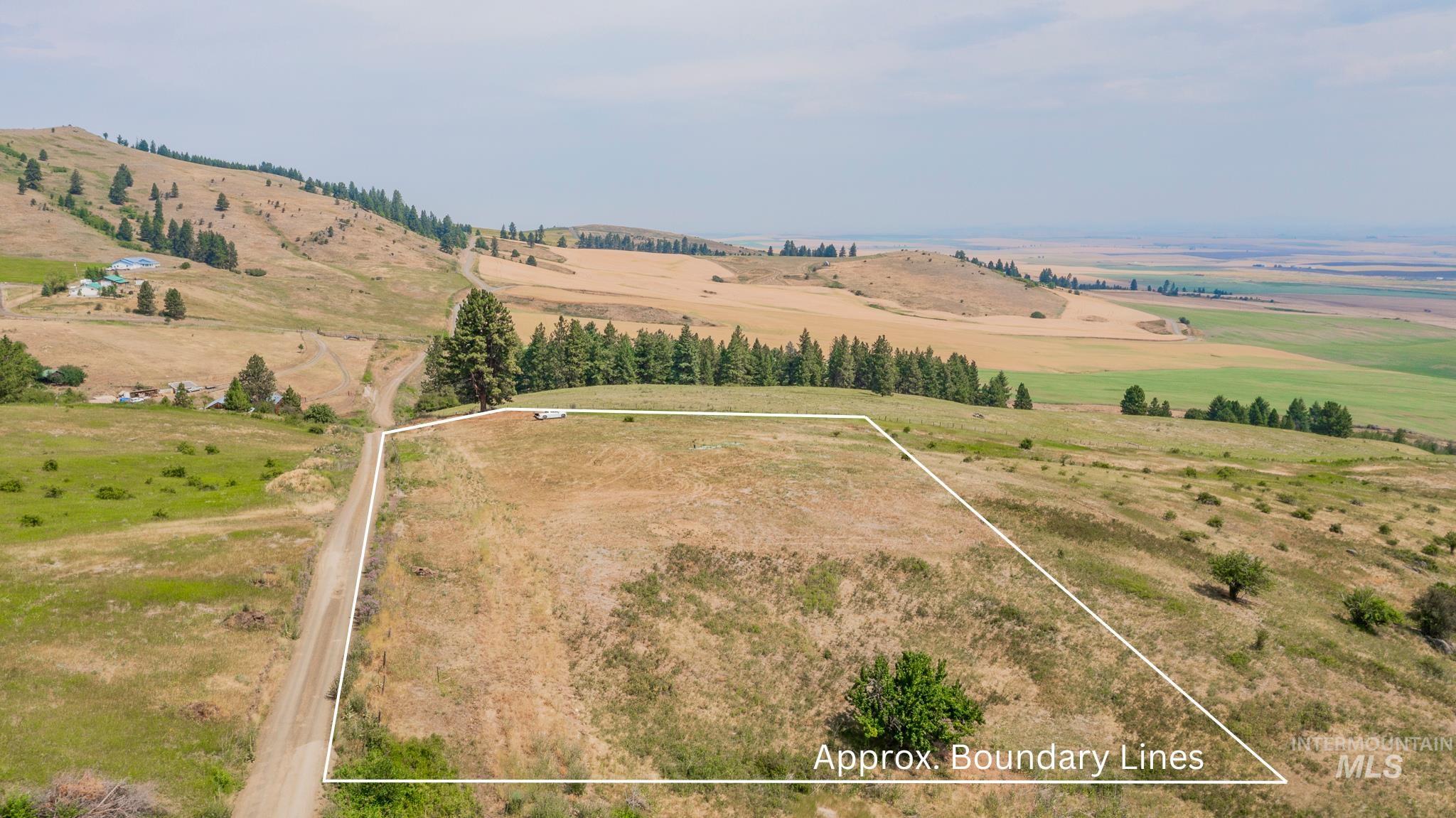
Aerial view of a dry, rolling hillside parcel outlined with approximate boundary lines.
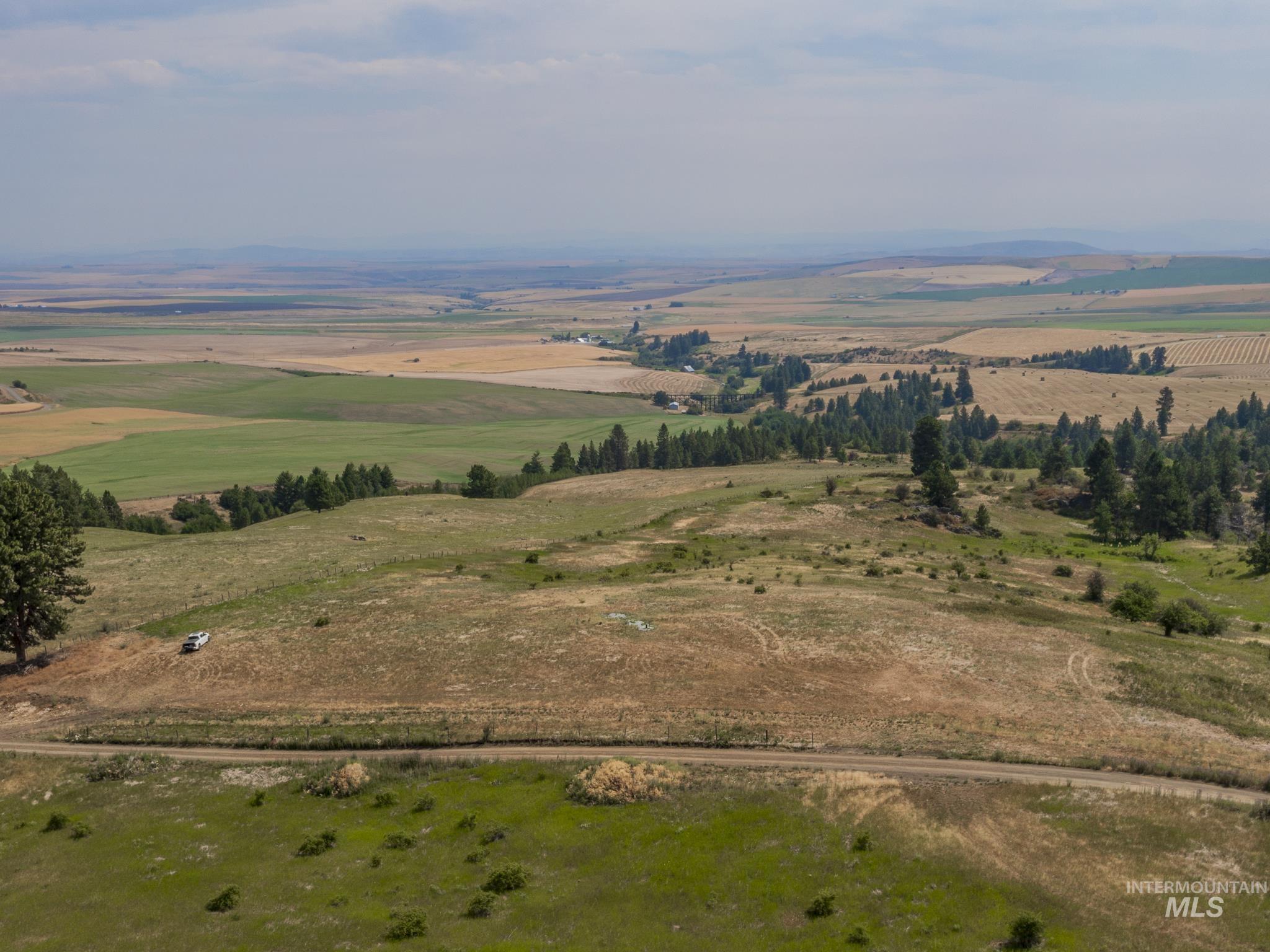
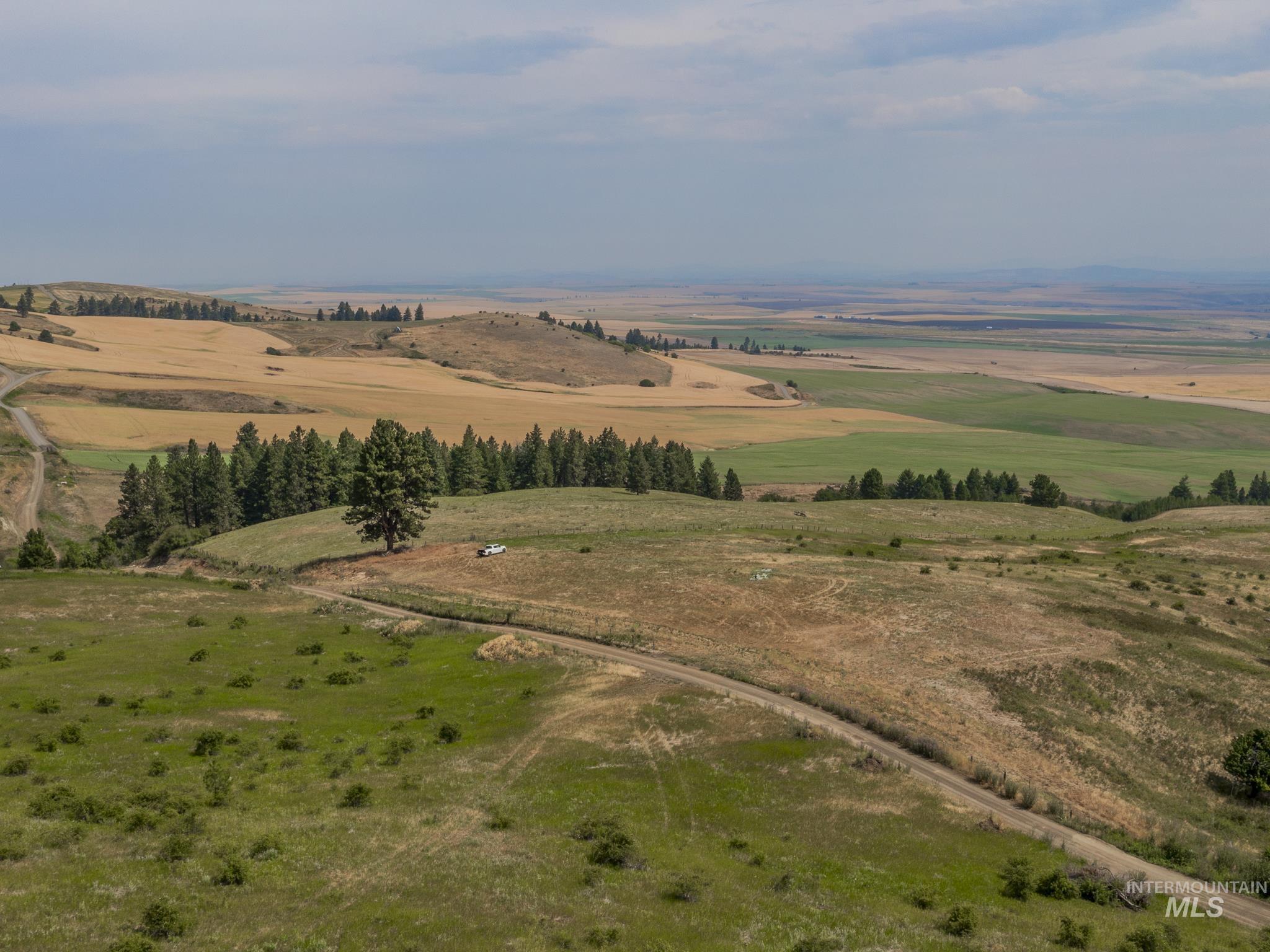
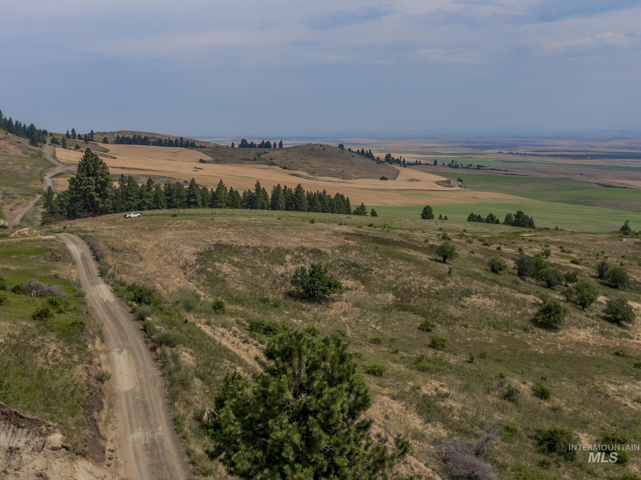
Aerial view of rolling rural land with scattered trees, green pasture, and a winding access road.
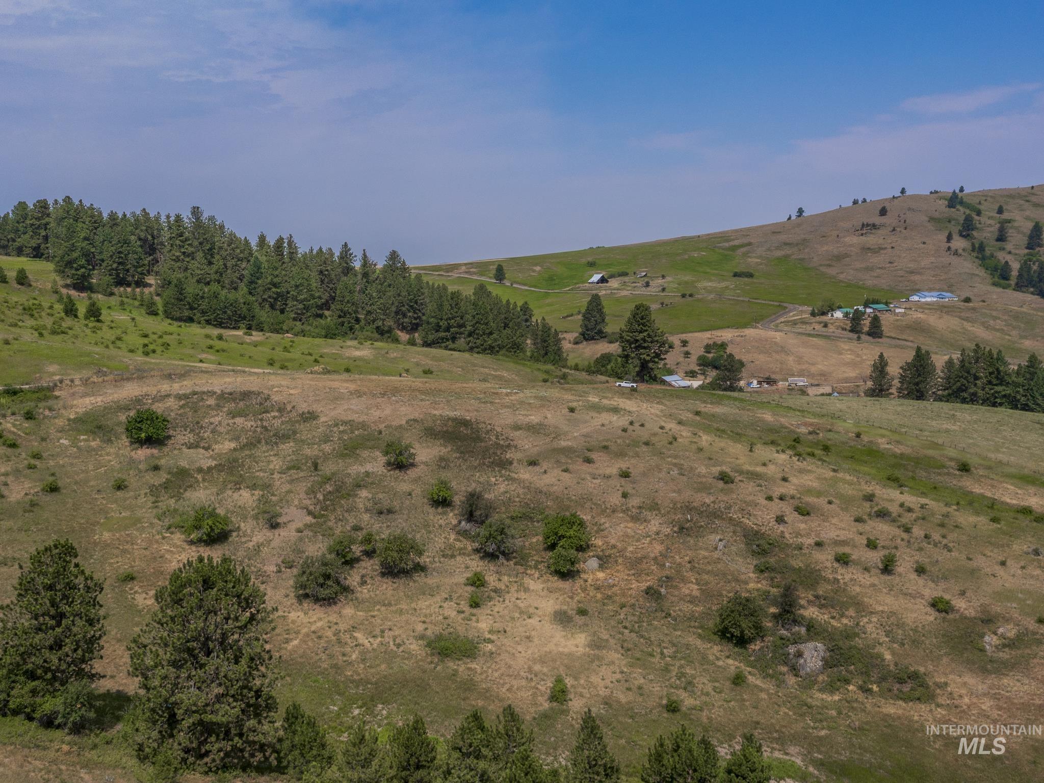
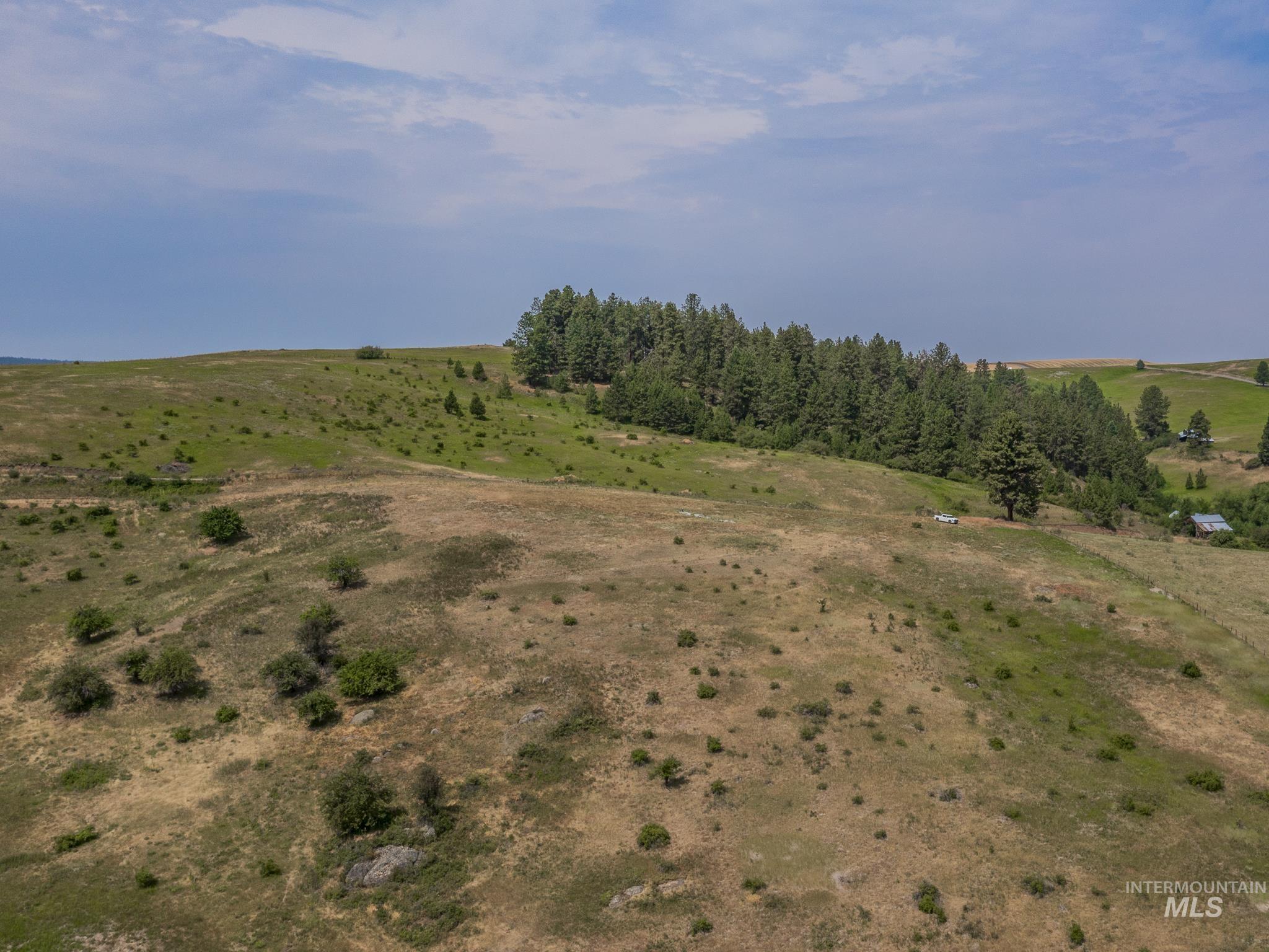
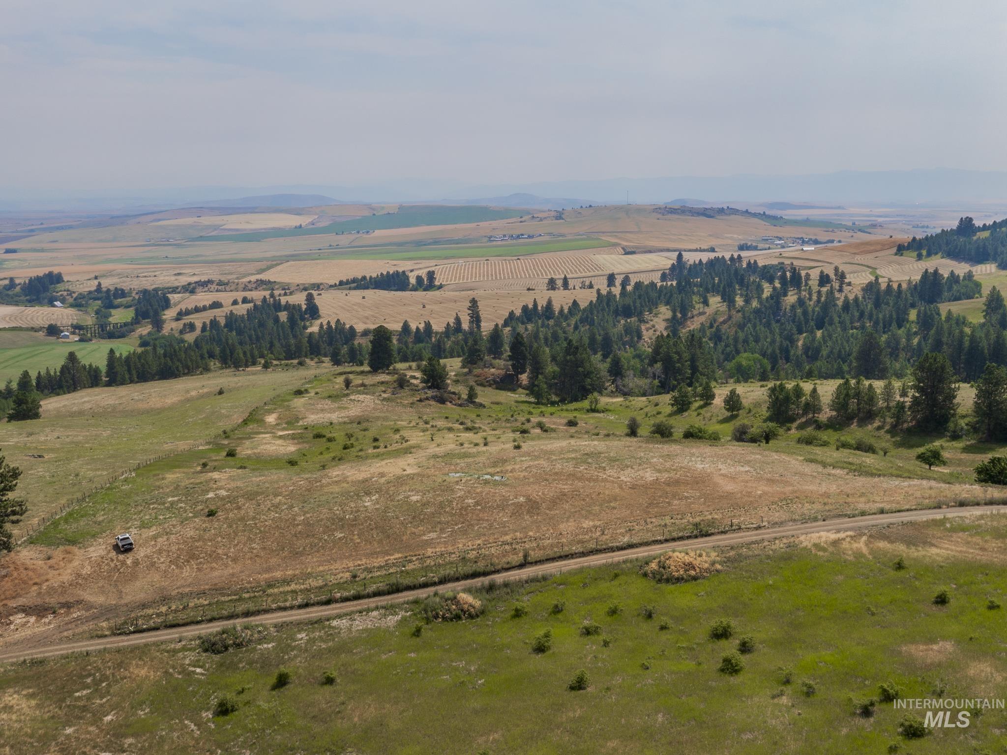
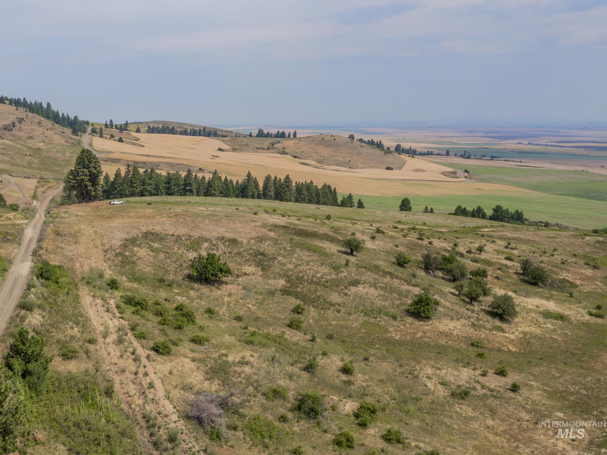
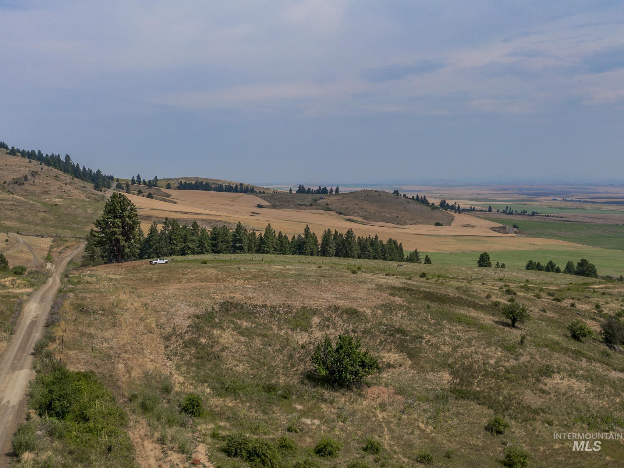
Aerial view of rolling rural land with dry grass, scattered shrubs, and a stand of evergreen trees.
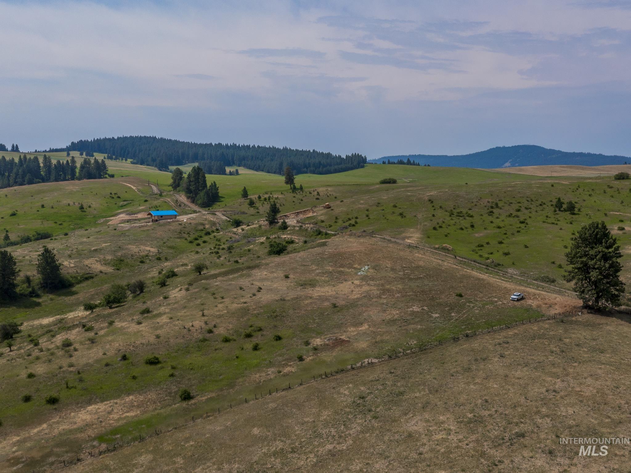
Aerial view of rolling rural land with dirt tracks, fenced fields, and a blue-roofed outbuilding.
Aerial view of a rural parcel outlined on rolling hills, beside a dirt road and tall evergreens.
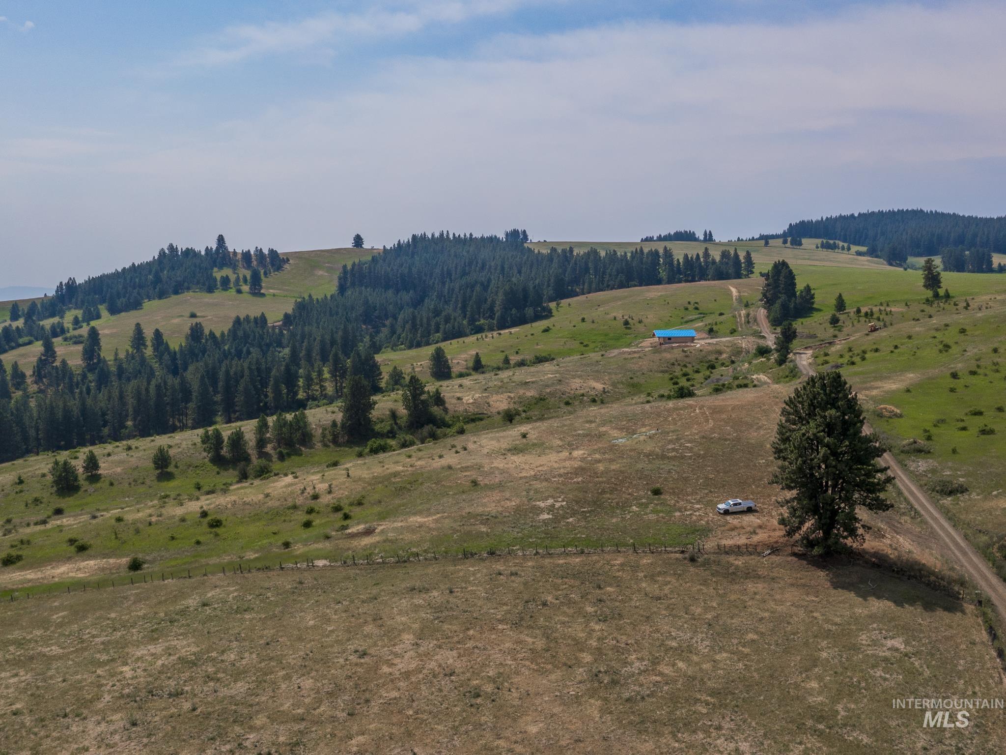
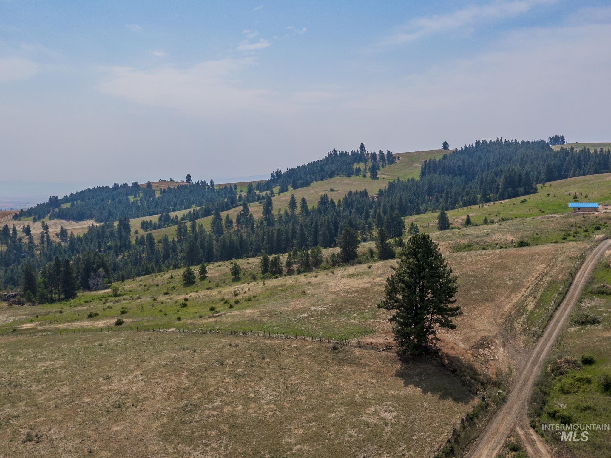
Rolling rural acreage with pine-covered hills, a dirt road, and a small blue-roofed outbuilding.
Rolling acreage with wooded hills, a dirt road, and a small blue-roofed outbuilding.
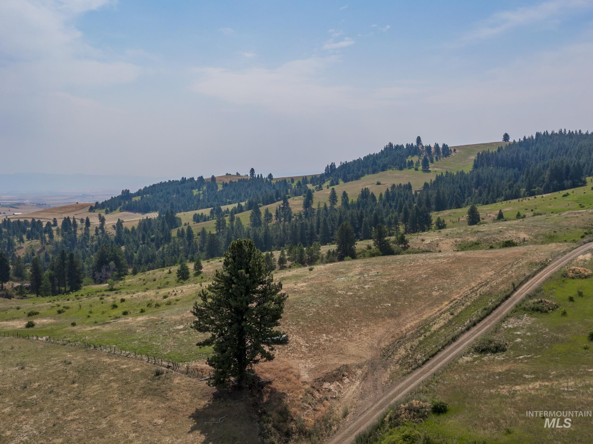
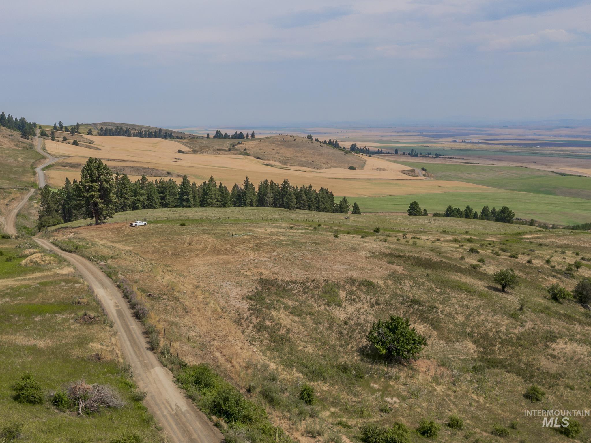
Aerial view of rolling fields and pine-covered hills crossed by a dirt road.
Rural acreage with open fields, pine-covered hills, and a dirt track crossing the foreground.
Rural acreage with rolling fields, scattered trees, a dirt road, and distant hills.
Vacant rural acreage overlooking rolling fields and evergreen trees, with a lone pine in the foreground.
Rural land with rolling grassland, scattered pines, a dirt road, and distant hills.
Aerial view of rolling rural land with patchwork fields, scattered trees, and a dirt road.
Aerial view of rolling rural acreage with scattered evergreens, a dirt road, and patchwork fields beyond.
Aerial view of rural acreage outlined in white, with a dirt road, scattered trees, and farmland beyond.
Aerial view of rolling acreage with a dirt road, pine trees, and agricultural fields in the distance.
Rolling rural acreage with scattered trees, a dirt access road, and broad cultivated fields beyond.
Aerial view of rolling rural land with a dirt road, scattered trees, and fields across the valley.
Rural vacant land with scattered trees, a dirt road, and rolling hills beyond.
Rural acreage with a winding dirt road, scattered trees, and cultivated fields across the valley.
Aerial view of dry rolling acreage with scattered trees, a dirt road, and distant fields.
Aerial view of vacant acreage outlined with approximate boundaries beside a dirt road and rolling farmland.
Rolling vacant land with a winding dirt road, scattered trees, and distant farmland.
Rural vacant land parcel outlined in white, with a dirt road and fields beyond.
Rural acreage overlooking patchwork fields and distant hills, with a dirt road and scattered trees.
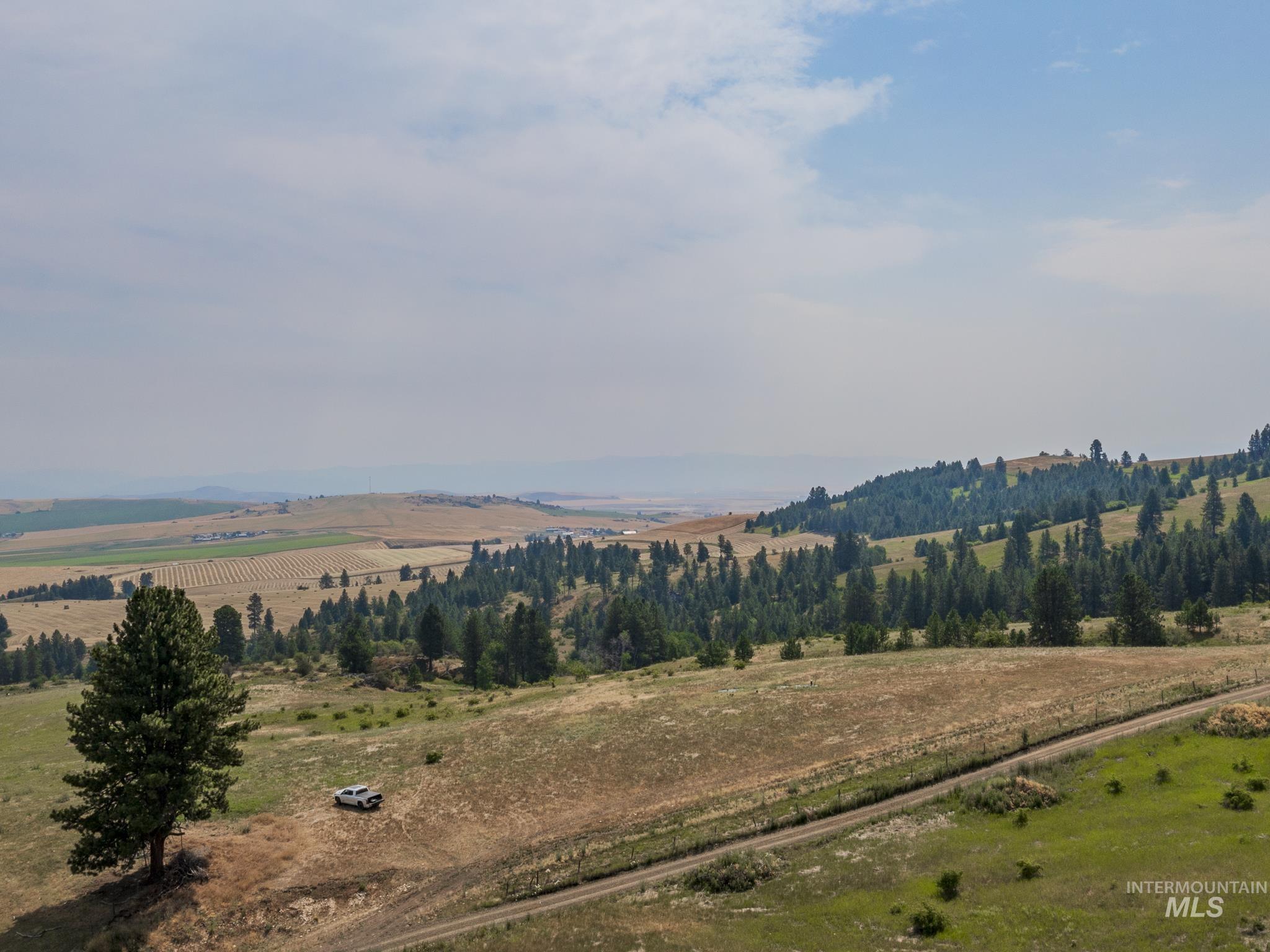
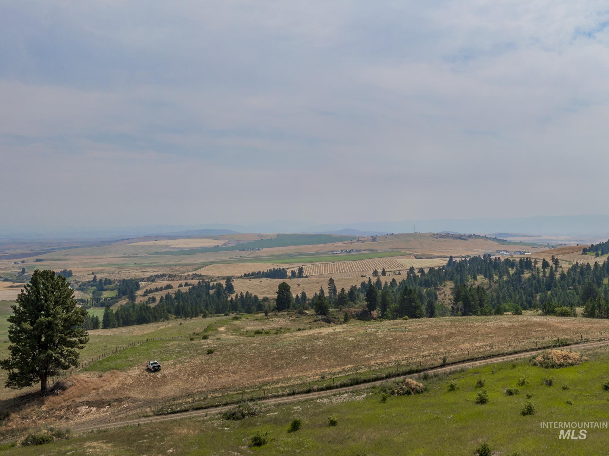
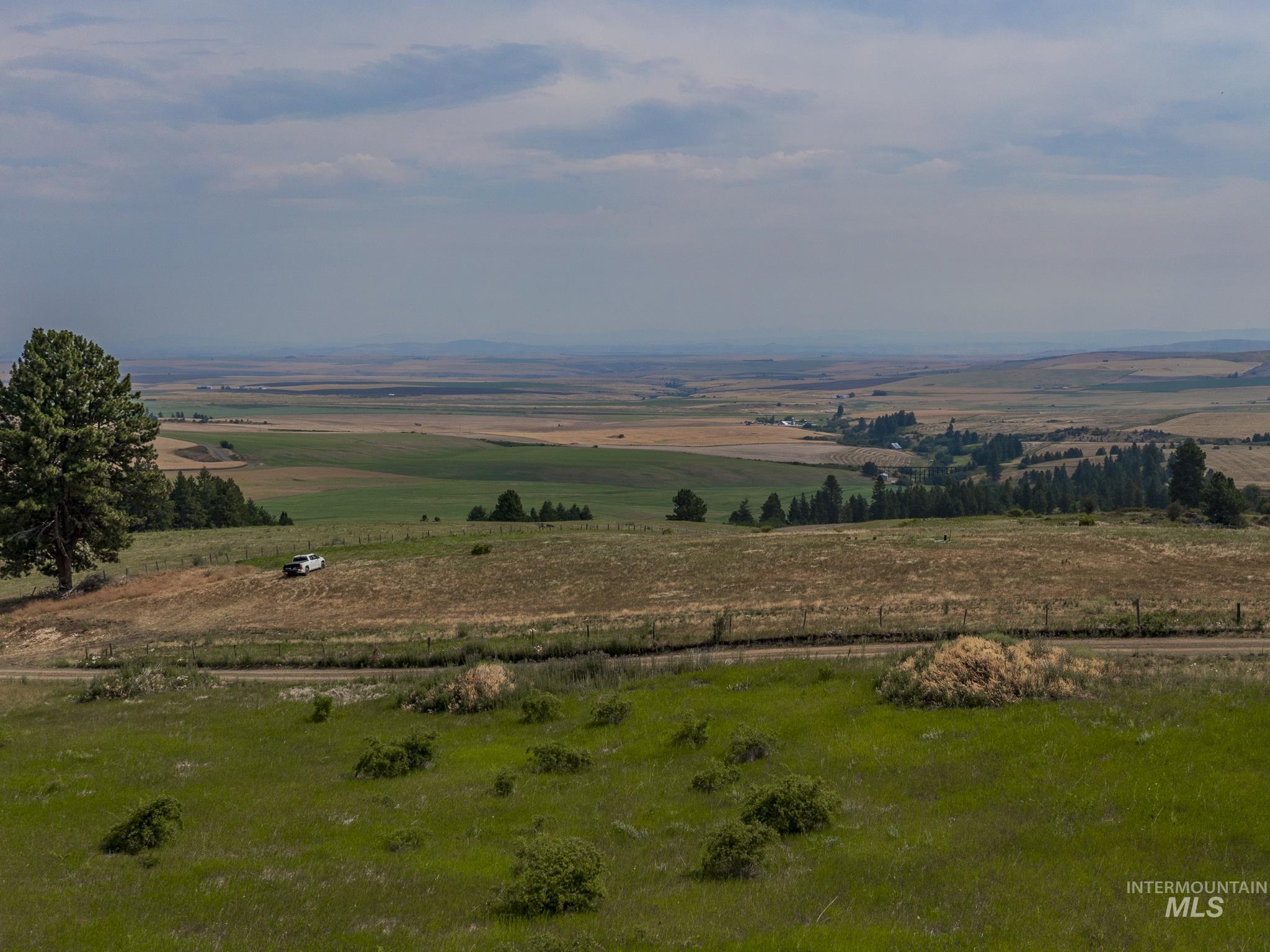
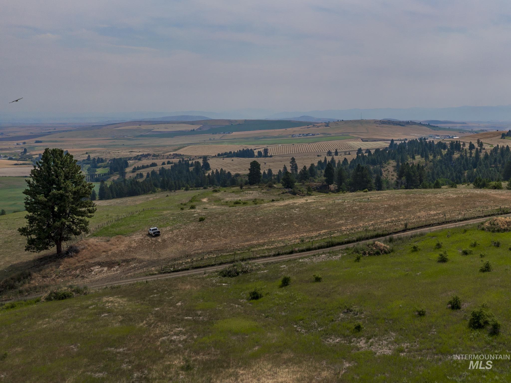
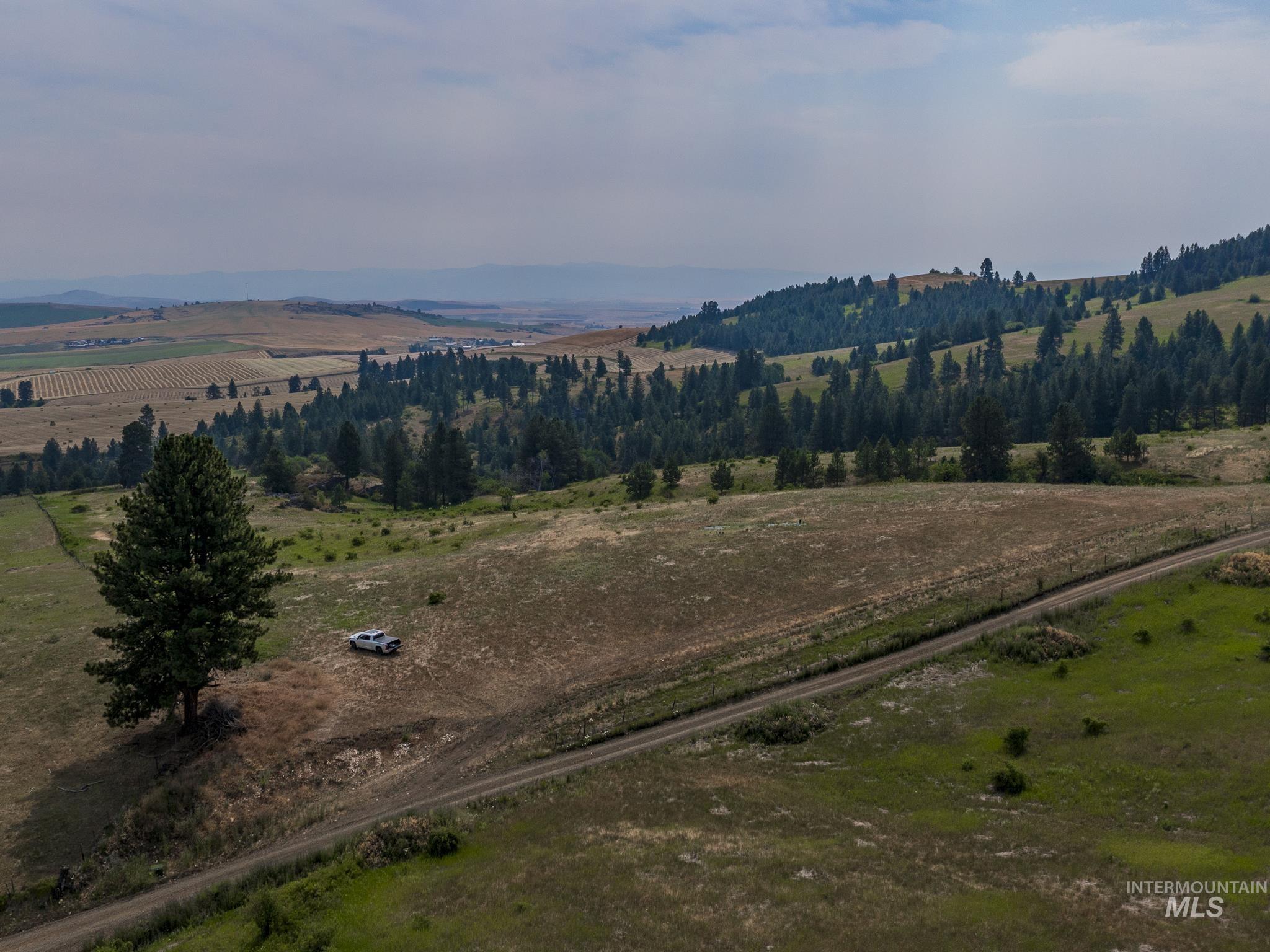
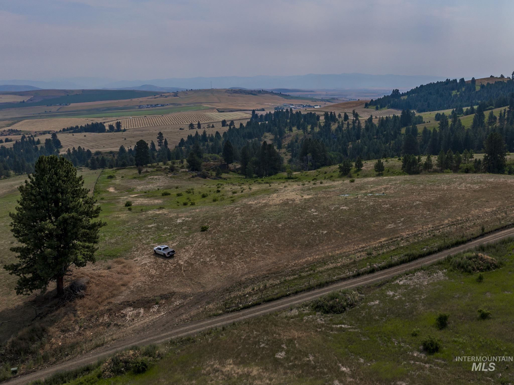
Rolling rural land overlooks broad agricultural fields, with a pine tree and pickup truck on the grassy slope.
Rolling rural land with pine trees, a dirt track, and distant mountain ridges.
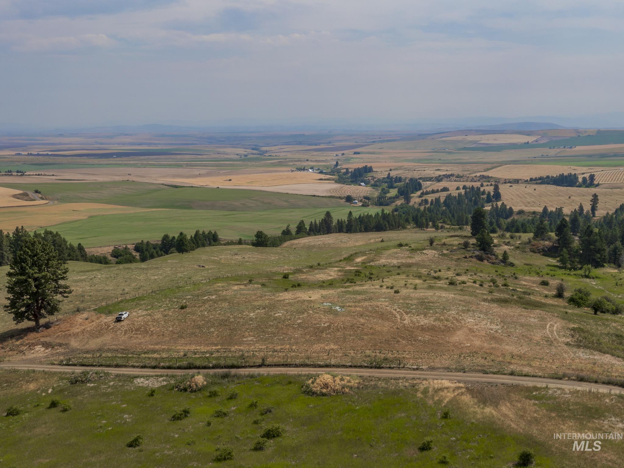
Aerial view of rolling rural acreage with evergreen trees, fields, a dirt road, and a pickup truck.
Aerial view of rural acreage with a dirt road, scattered trees, forested hills, and distant mountains.
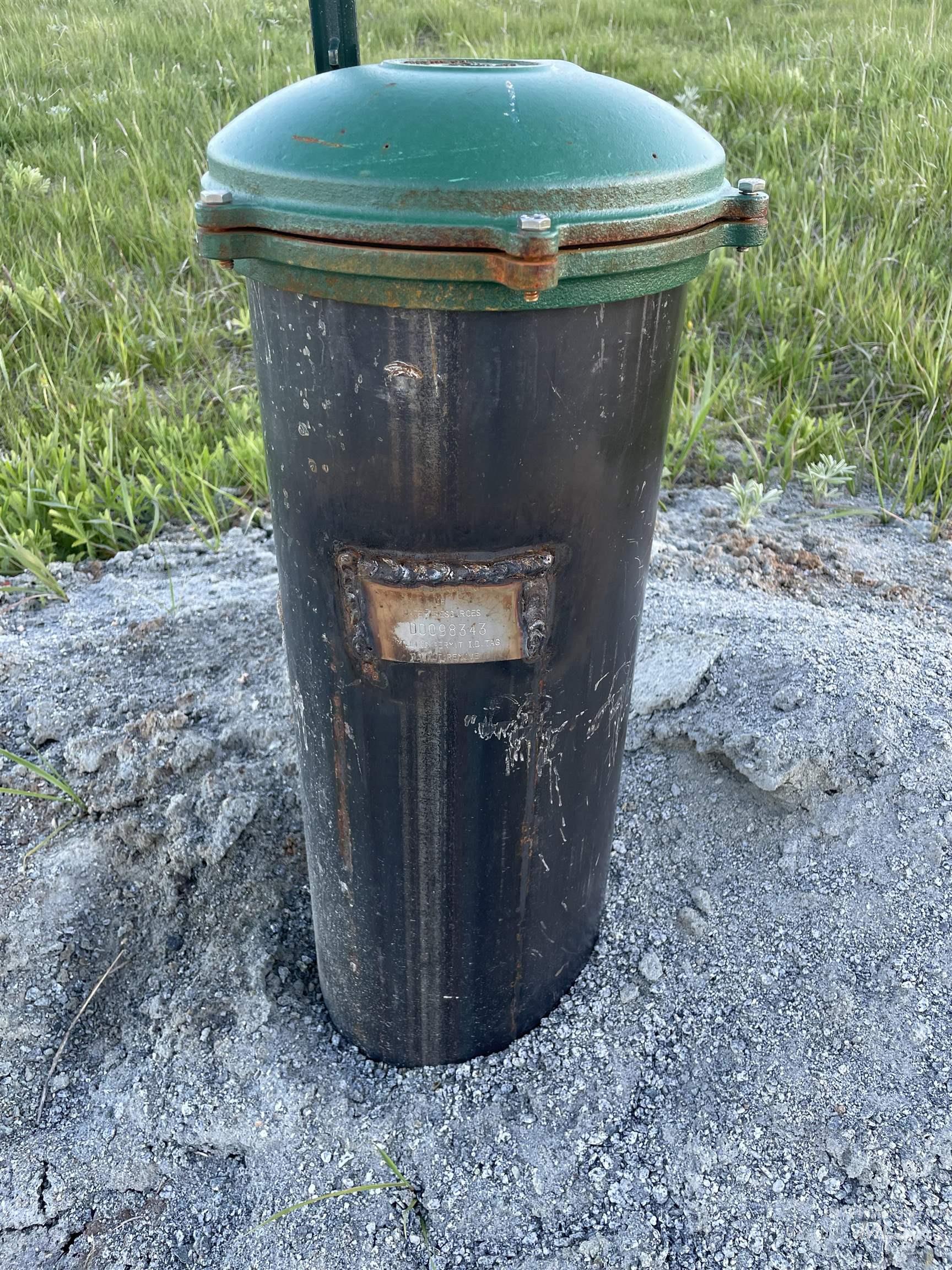
Cylindrical utility casing with a teal bolted cap, standing in gravel beside grass.
Rolling rural fields and wooded hills with a trestle, scattered farm buildings, and distant mountains.
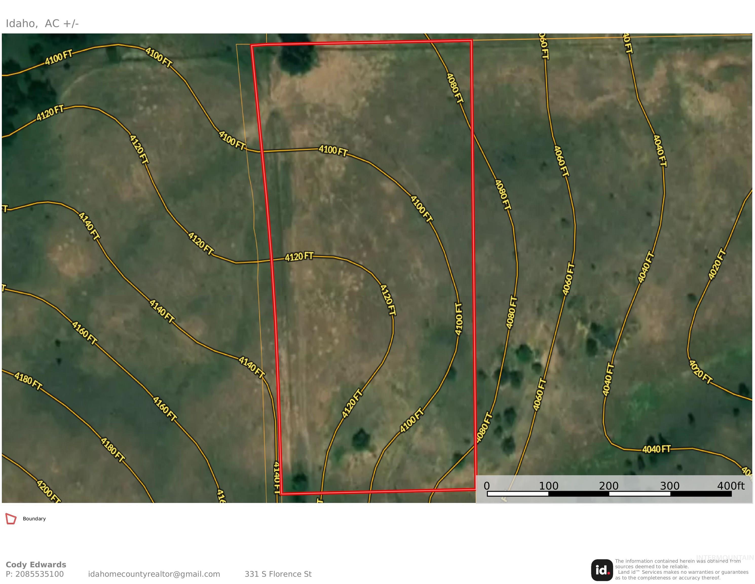
Aerial parcel map with the property outlined in red and elevation contour lines.
SEE ALL PHOTOS
Vacant grassy land overlooks rolling farm fields and distant ridges in warm evening light.
Rolling rural land with grassy foreground, evergreen hills, fields, and distant mountains.
Aerial view of a dry, rolling hillside parcel outlined with approximate boundary lines.
Aerial view of rolling rural land with scattered trees, green pasture, and a winding access road.
Aerial view of rolling rural land with dry grass, scattered shrubs, and a stand of evergreen trees.
Aerial view of rolling rural land with dirt tracks, fenced fields, and a blue-roofed outbuilding.
Aerial view of a rural parcel outlined on rolling hills, beside a dirt road and tall evergreens.
Rolling rural acreage with pine-covered hills, a dirt road, and a small blue-roofed outbuilding.
Rolling acreage with wooded hills, a dirt road, and a small blue-roofed outbuilding.
Aerial view of rolling fields and pine-covered hills crossed by a dirt road.
Rural acreage with open fields, pine-covered hills, and a dirt track crossing the foreground.
Rural acreage with rolling fields, scattered trees, a dirt road, and distant hills.
Vacant rural acreage overlooking rolling fields and evergreen trees, with a lone pine in the foreground.
Rural land with rolling grassland, scattered pines, a dirt road, and distant hills.
Aerial view of rolling rural land with patchwork fields, scattered trees, and a dirt road.
Aerial view of rolling rural acreage with scattered evergreens, a dirt road, and patchwork fields beyond.
Aerial view of rural acreage outlined in white, with a dirt road, scattered trees, and farmland beyond.
Aerial view of rolling acreage with a dirt road, pine trees, and agricultural fields in the distance.
Rolling rural acreage with scattered trees, a dirt access road, and broad cultivated fields beyond.
Aerial view of rolling rural land with a dirt road, scattered trees, and fields across the valley.
Rural vacant land with scattered trees, a dirt road, and rolling hills beyond.
Rural acreage with a winding dirt road, scattered trees, and cultivated fields across the valley.
Aerial view of dry rolling acreage with scattered trees, a dirt road, and distant fields.
Aerial view of vacant acreage outlined with approximate boundaries beside a dirt road and rolling farmland.
Rolling vacant land with a winding dirt road, scattered trees, and distant farmland.
Rural vacant land parcel outlined in white, with a dirt road and fields beyond.
Rural acreage overlooking patchwork fields and distant hills, with a dirt road and scattered trees.
Rolling rural land overlooks broad agricultural fields, with a pine tree and pickup truck on the grassy slope.
Rolling rural land with pine trees, a dirt track, and distant mountain ridges.
Aerial view of rolling rural acreage with evergreen trees, fields, a dirt road, and a pickup truck.
Aerial view of rural acreage with a dirt road, scattered trees, forested hills, and distant mountains.
Cylindrical utility casing with a teal bolted cap, standing in gravel beside grass.
Rolling rural fields and wooded hills with a trestle, scattered farm buildings, and distant mountains.
Aerial parcel map with the property outlined in red and elevation contour lines.
Courtesy of Cody Edwards, Professional Realty Services Idaho, 208-215-2373
Sold

TBD Over Yonder Rd

TBD Over Yonder Rd, Cotton Wood, ID 83522

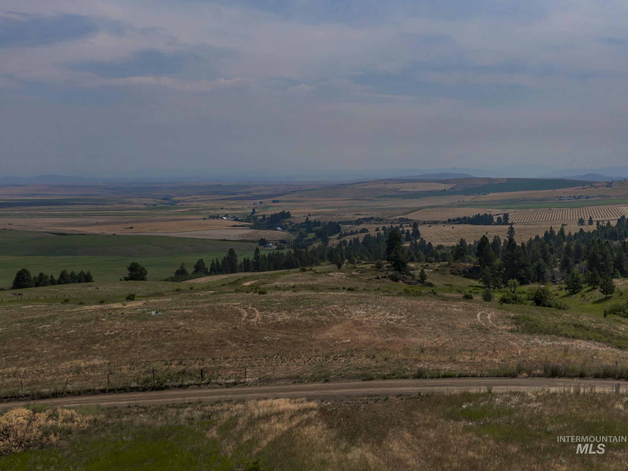
You won't want to miss out on this amazing buildable parcel with sweeping views of Clearwater Region in North Central Idaho. From Buffalo Hump to the Selway and North to the North Fork of the Clearwater you won't be disappointed with the panoramic views. Located minutes from Cottonwood Idaho, this parcel has road access, a well and underground power at the property boundary. Build your dream home, cabin or AirBnB investment property on this parcel that is ready for your vision. Drive up to the property and check out the views and incredible potential for yourself. Contact your agent for more information. Finding a buildable parcel with power, access and water on site at this price is not easy anywhere in the Great State of Idaho. No HOA.

4.5 Acres lot

Cody Edwards

Cody Edwards

Bernadette (B) Edwards

Bernadette (B) Edwards

Features & Amenities

Area & Lot

  • Status Sold
  • Date Sold October 18, 2024
  • Lot Area4.5 Acres
  • MLS® ID98918307
  • TypeLand
  • NeighborhoodCottonwood
  • Elementary SchoolPrairie - Idaho County
  • Middle SchoolPrairie - Idaho County
  • High SchoolPrairie - Idaho County
  • School DistrictCottonwood School District #242

Exterior

  • water SourceWell
  • utilitiesElectricity Available, Propane, Electricity Connected, Underground Utilities
  • lot features1 Acre - 499 Acres, Level, Pasture, Surveyed, Views

Financial

  • Price Upon Request

Cottonwood

Explore

Cody and B Edwards

Ready to make your next big move in Grangeville or the surrounding area? We combine hands-on local expertise with relentless advocacy to help you buy or sell with complete confidence.

Follow Us on Instagram