Leave a Message

By providing your contact information to Cody and B Edwards, your personal information will be processed in accordance with Cody and B Edwards's Privacy Policy. By checking the box(es) below, you expressly consent to receive marketing or promotional real estate communication from Cody and B Edwards in the manner selected by you. For SMS text messages, message frequency varies. Message and data rates may apply. Consent is not a condition of purchase of any goods or services. You may opt out of receiving further communications from Cody and B Edwards at any time. To opt out of receiving SMS text messages, reply STOP to unsubscribe. SMS text messaging is subject to our Terms of Use.

Thank you for your message. We will be in touch with you shortly.

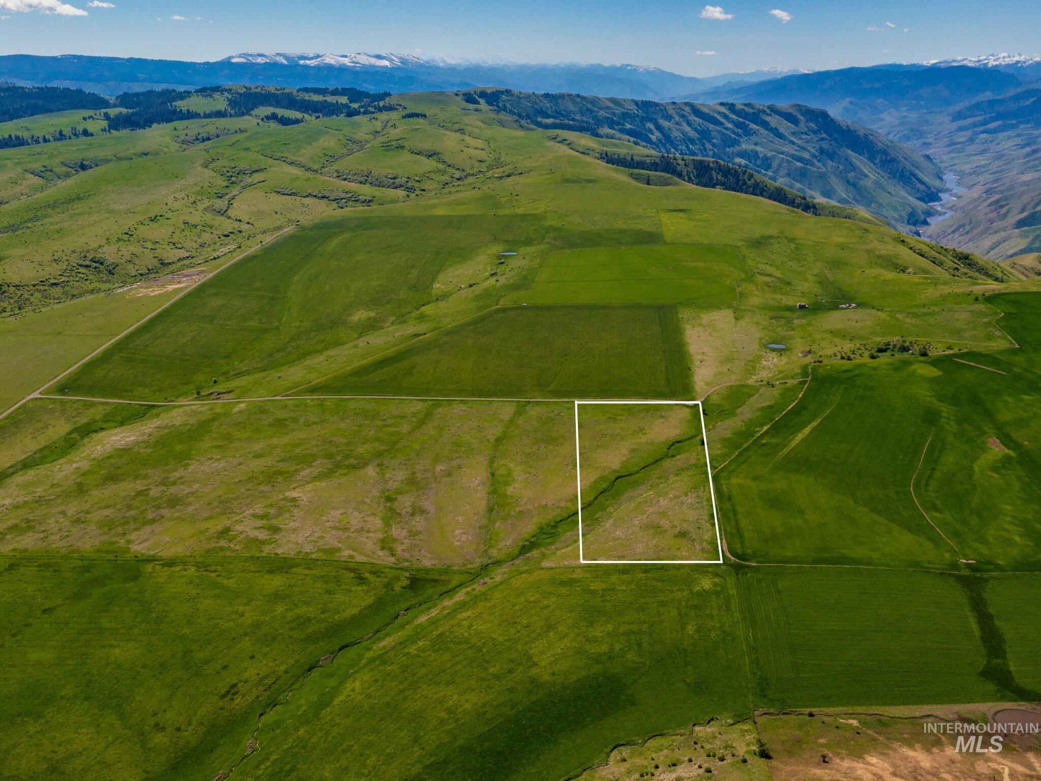
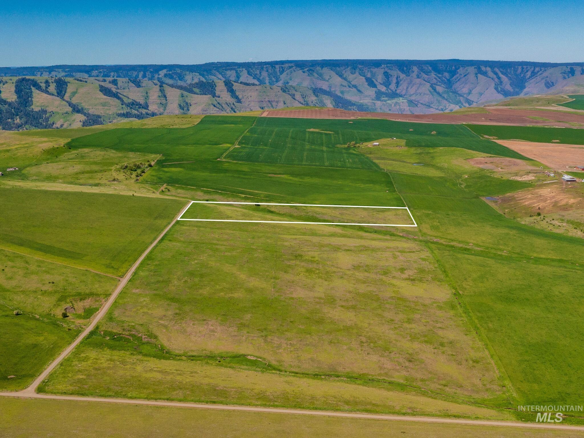
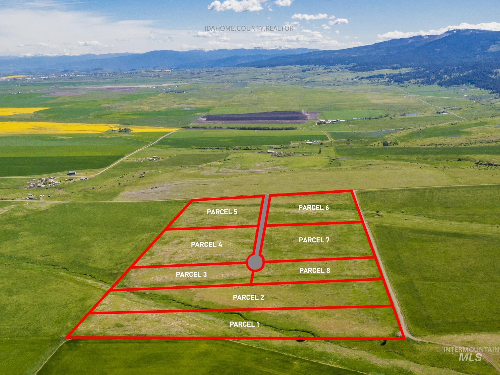
Aerial view of outlined rural parcel with a creek, surrounded by green fields and distant mountains.
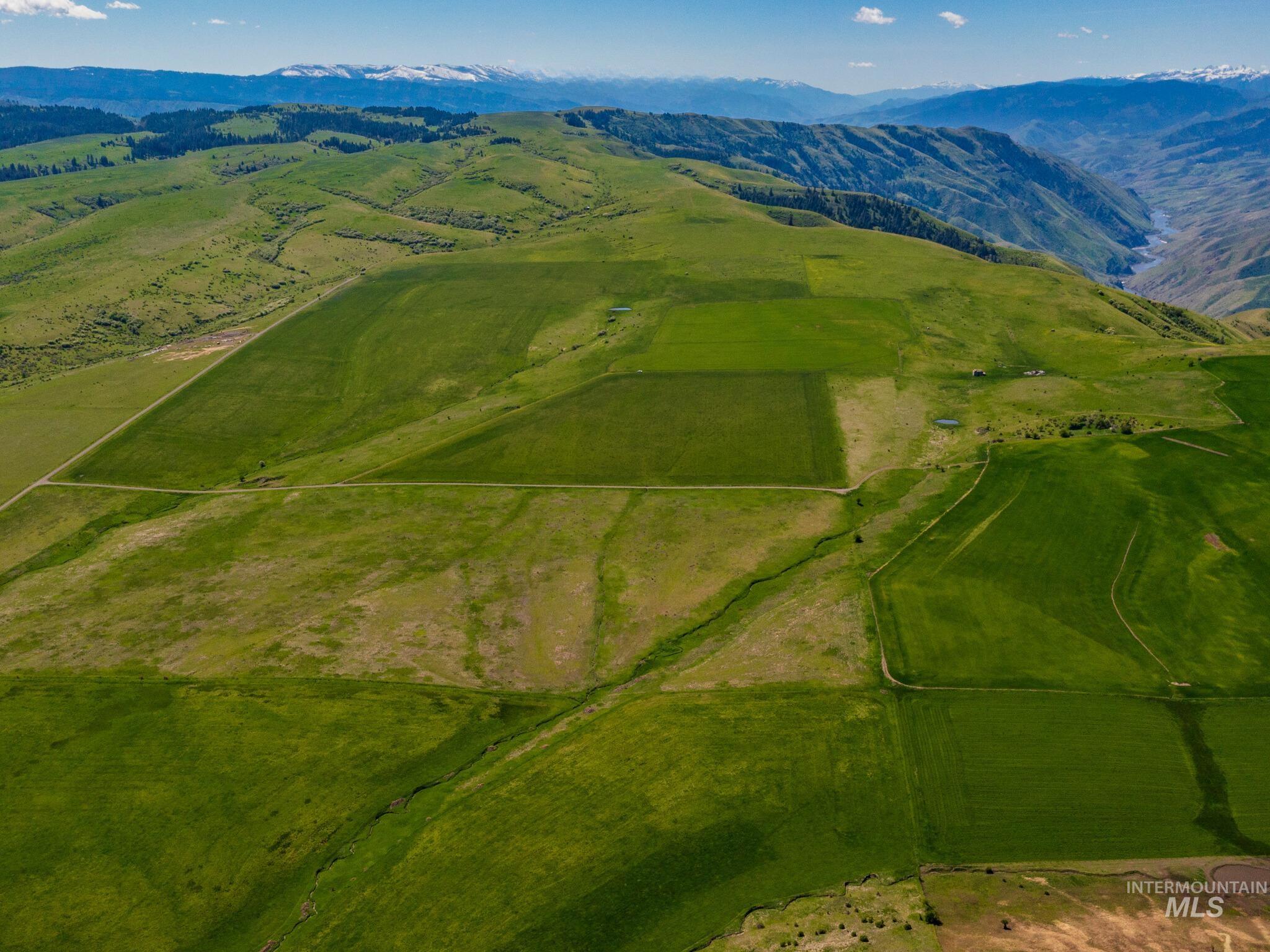
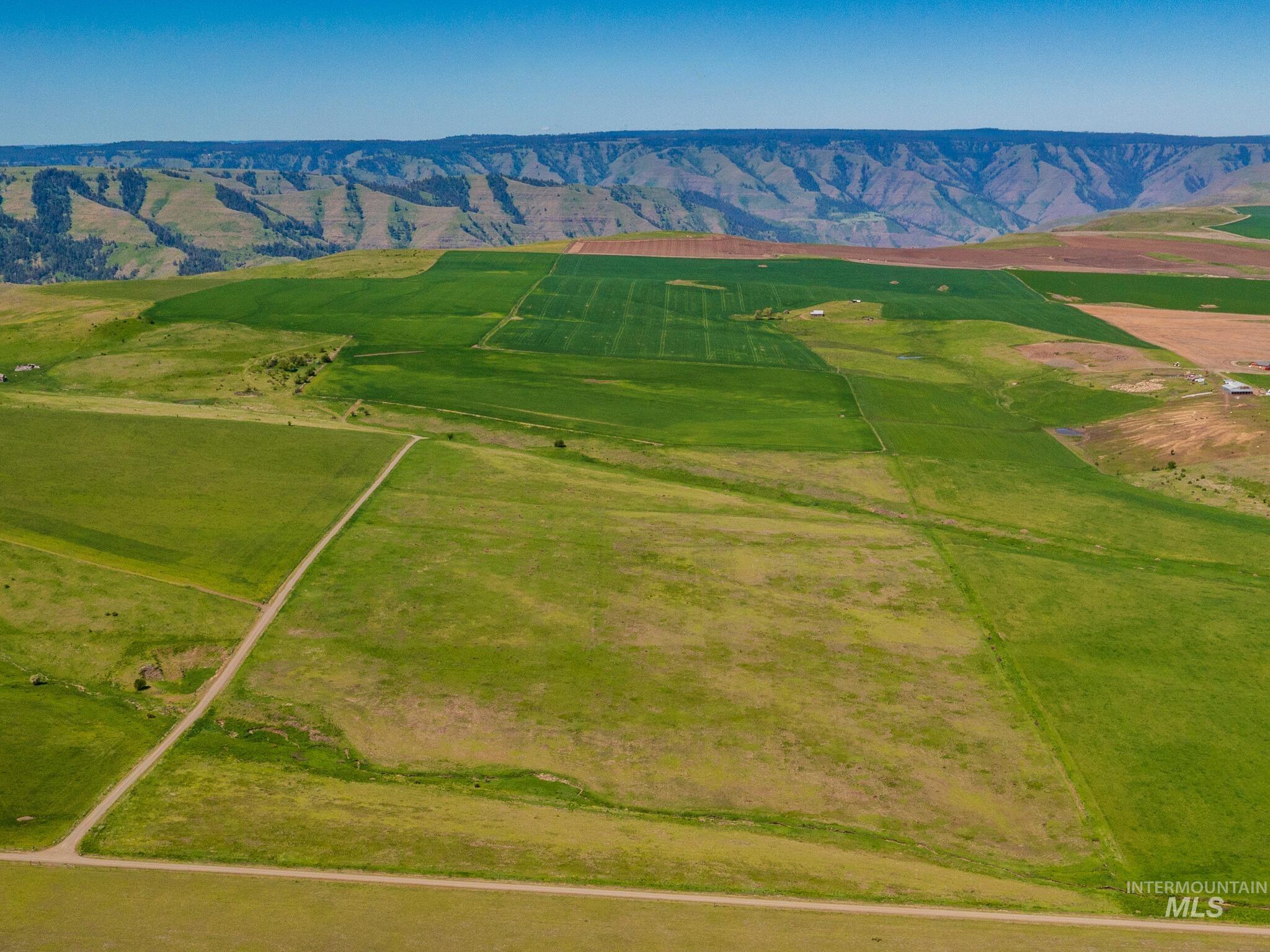
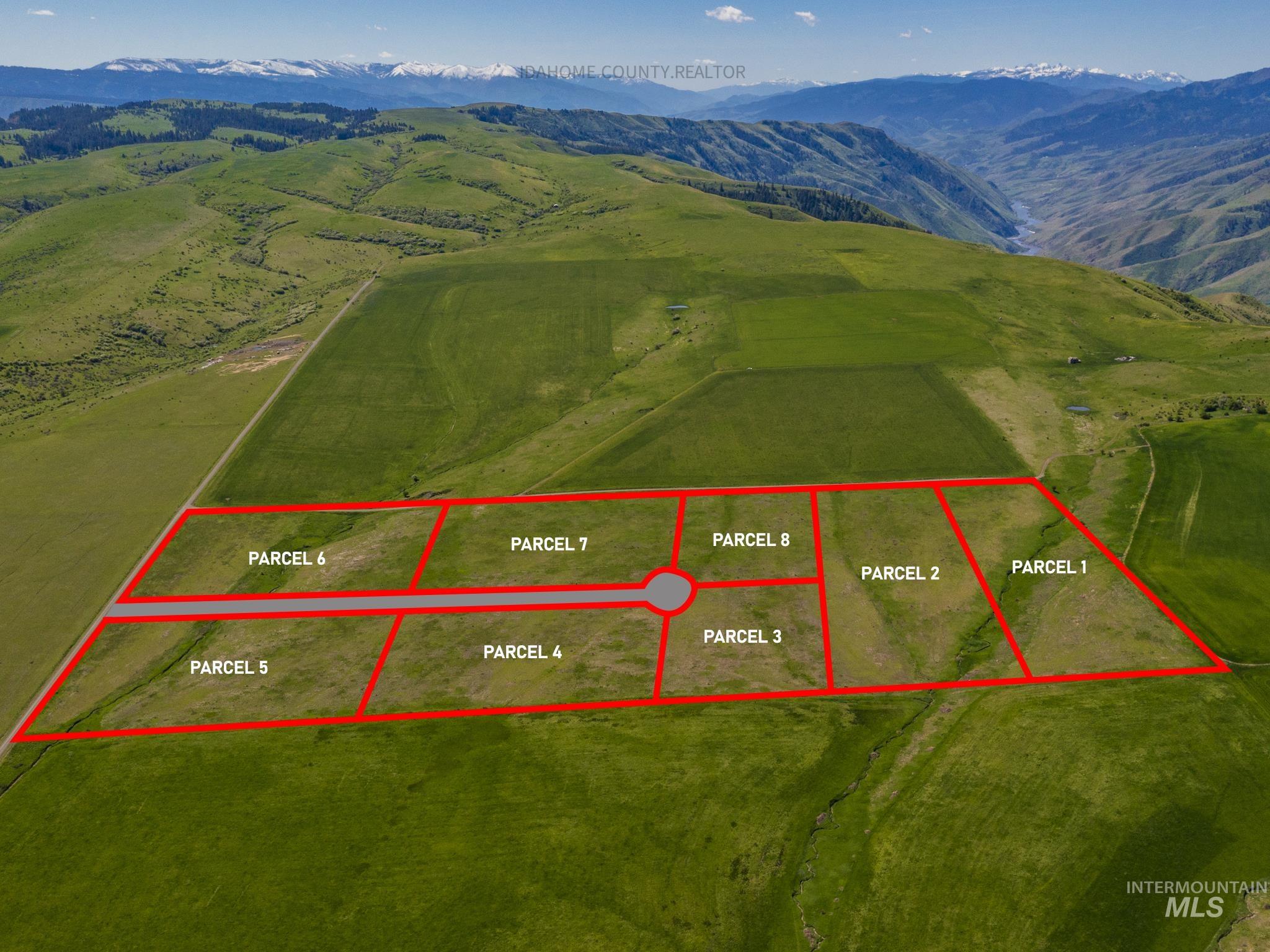
Aerial view of green farmland parcels with dirt roads, a small pond, and snow-dusted mountains beyond.
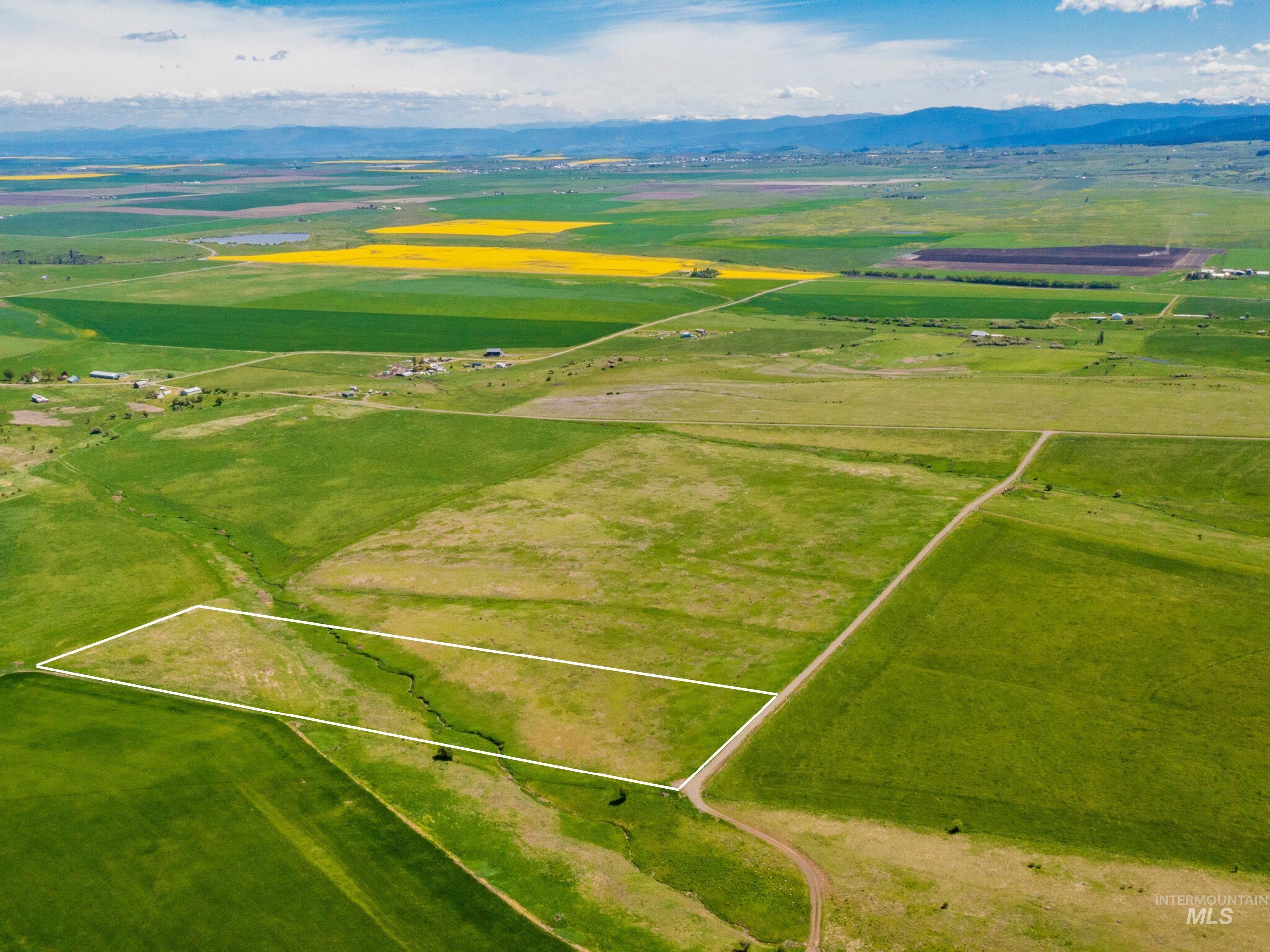
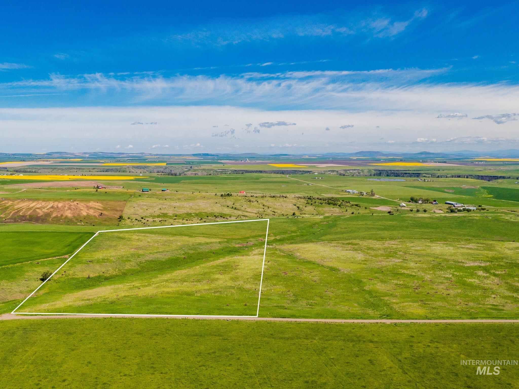
Aerial view of a grassy parcel outlined in white, with a creek, dirt road, farmland, and distant mountains.
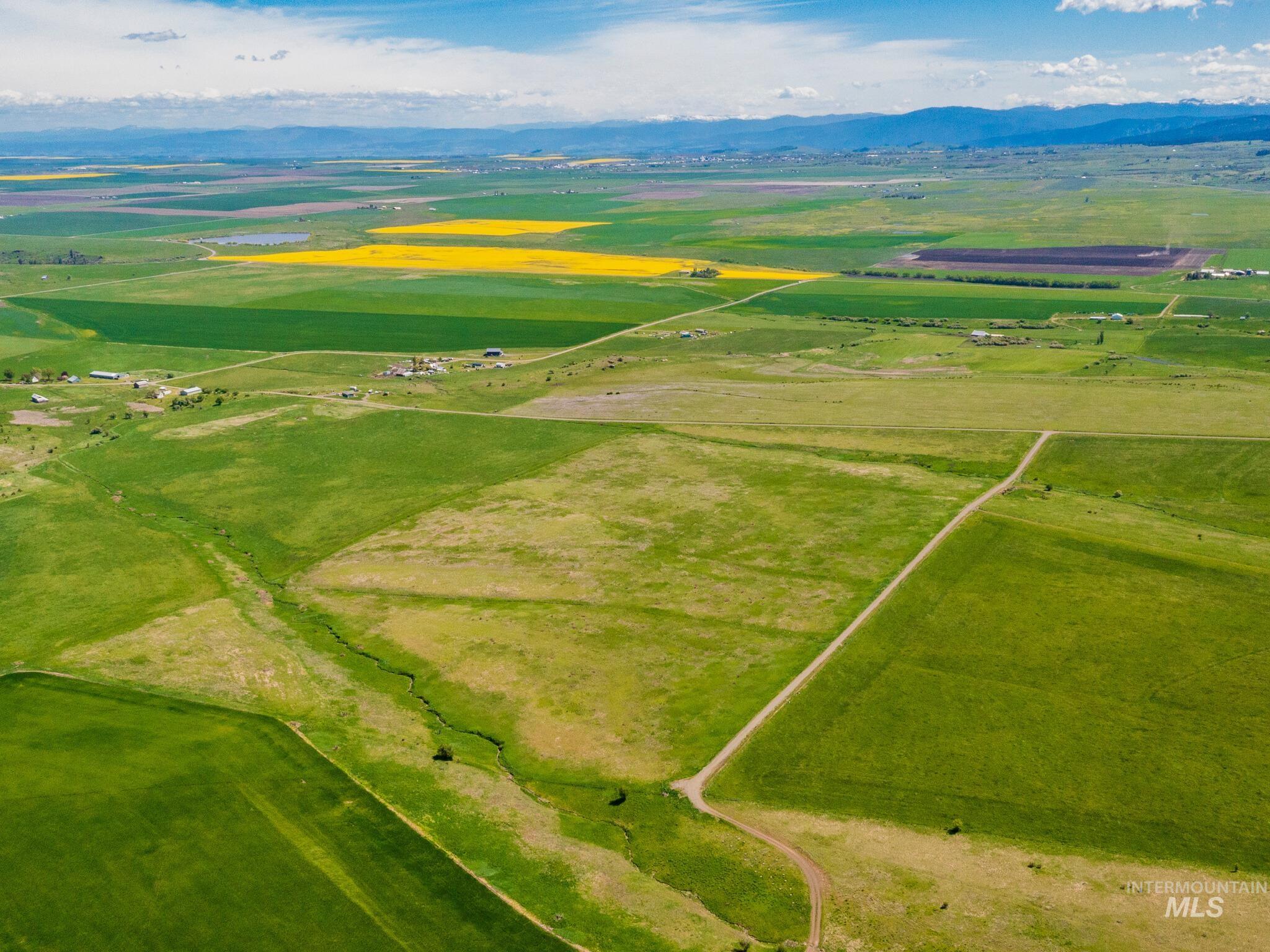
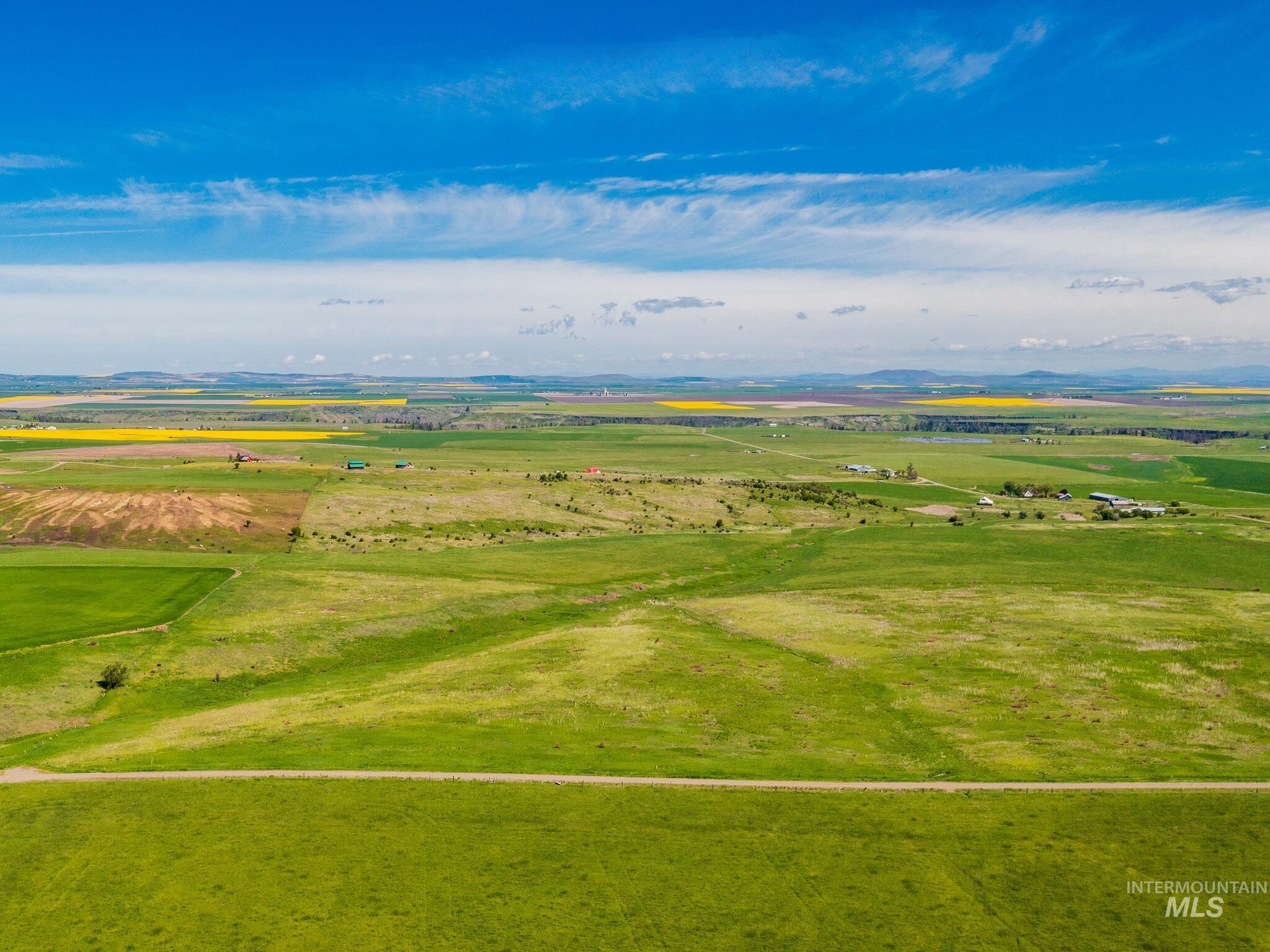
Aerial view of open land with crossing dirt roads, patchwork fields, and distant mountains.
Aerial view of a long, white-outlined land parcel amid open fields, with a canyon in the distance.
Aerial farmland with green fields, dirt roads, and a rugged canyon on the horizon.
Aerial view of a grassy parcel outlined in white, with farmland and distant hills.
Open green parcel with a road across the foreground and patchwork farm fields beyond.
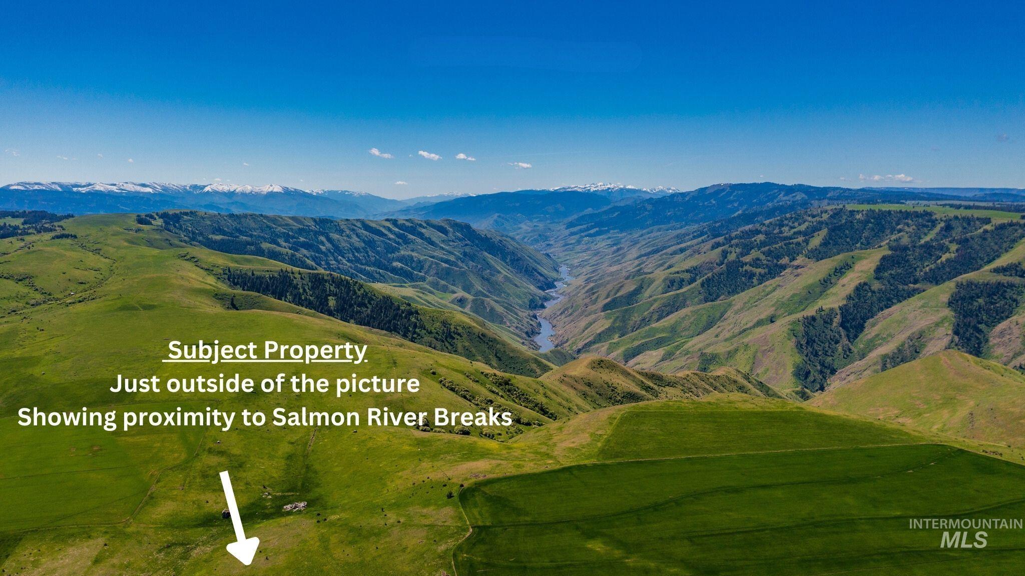
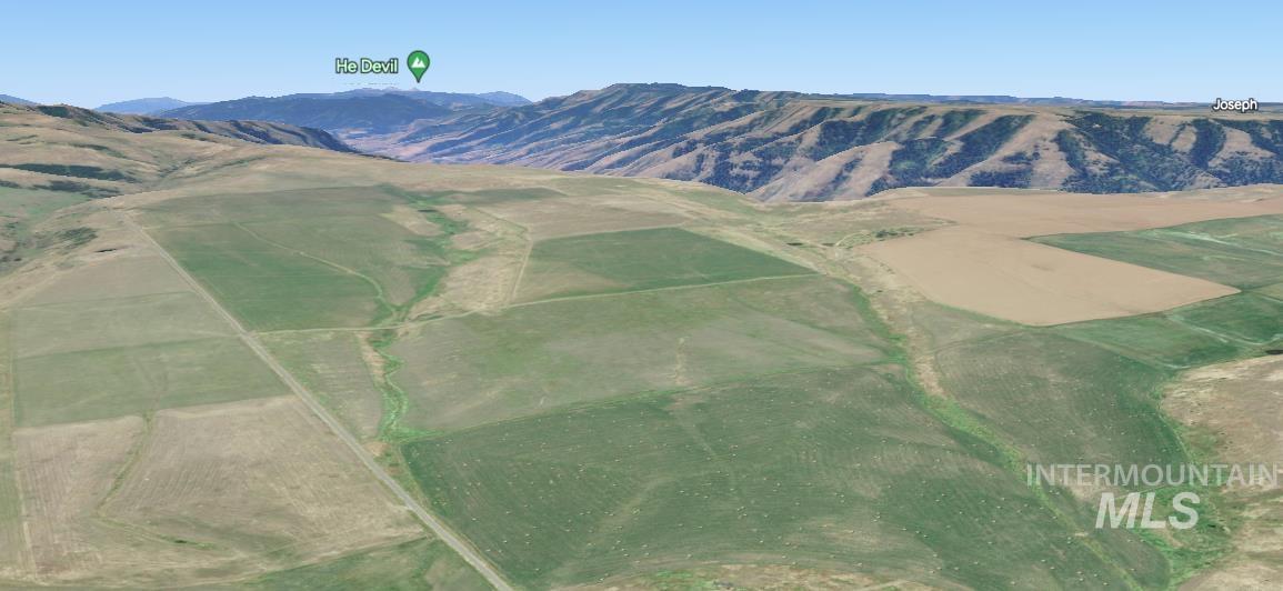
Aerial panorama of green hills and the Salmon River canyon, with an arrow indicating the parcel beyond the frame.
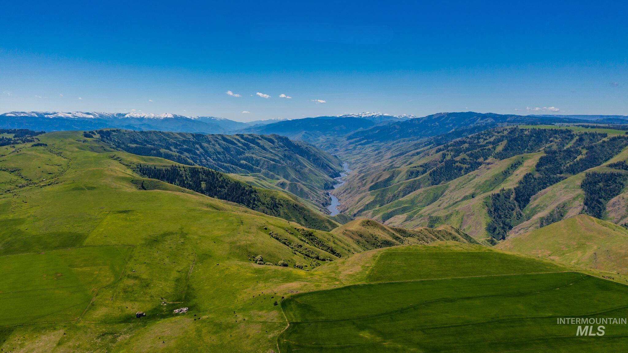
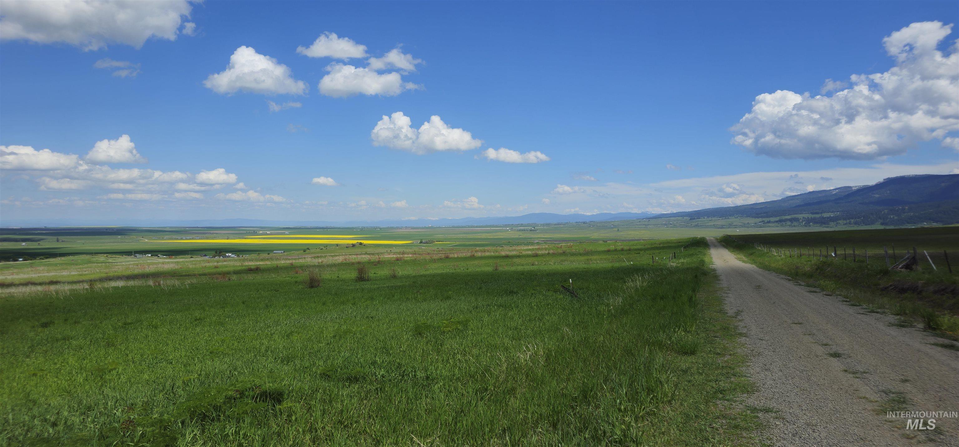
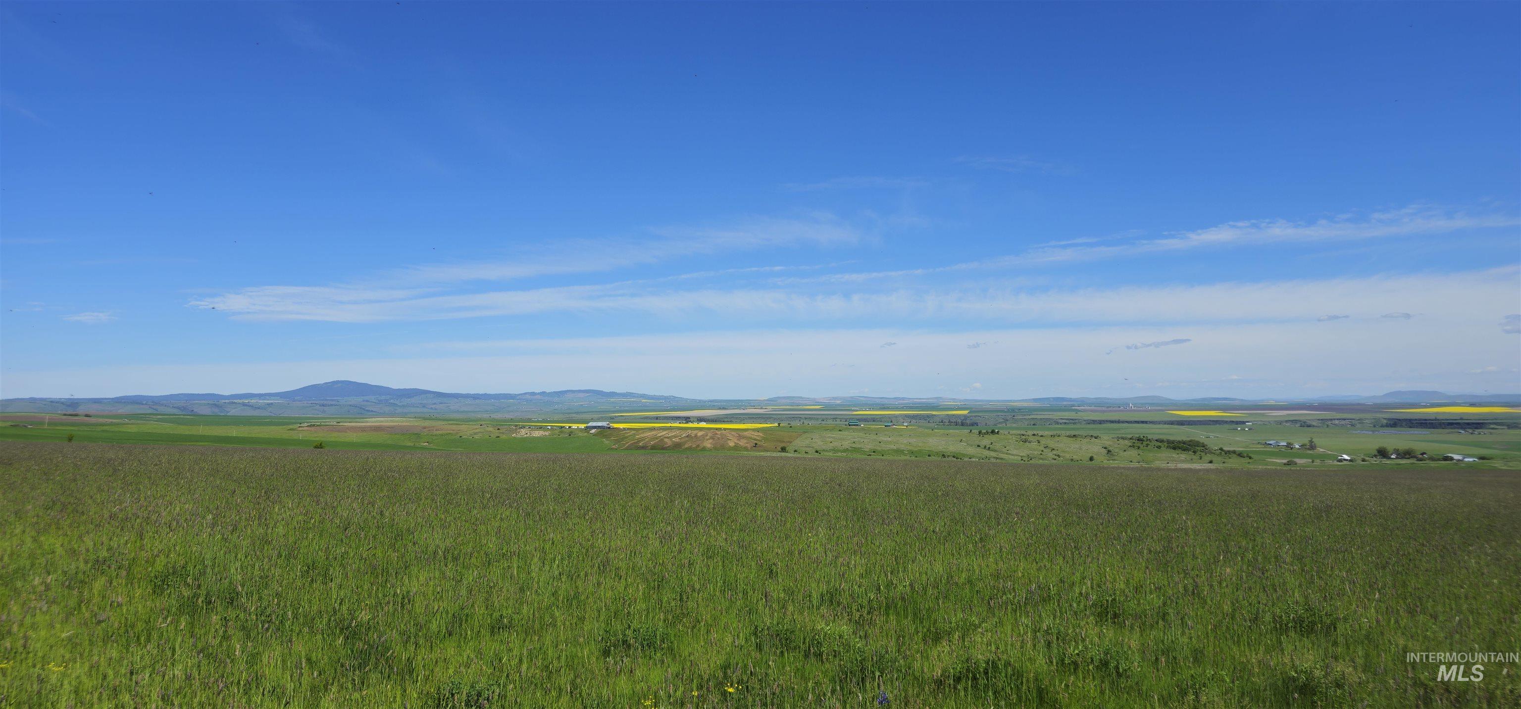
Rolling green acreage overlooking a river canyon and distant snow-dusted mountains.
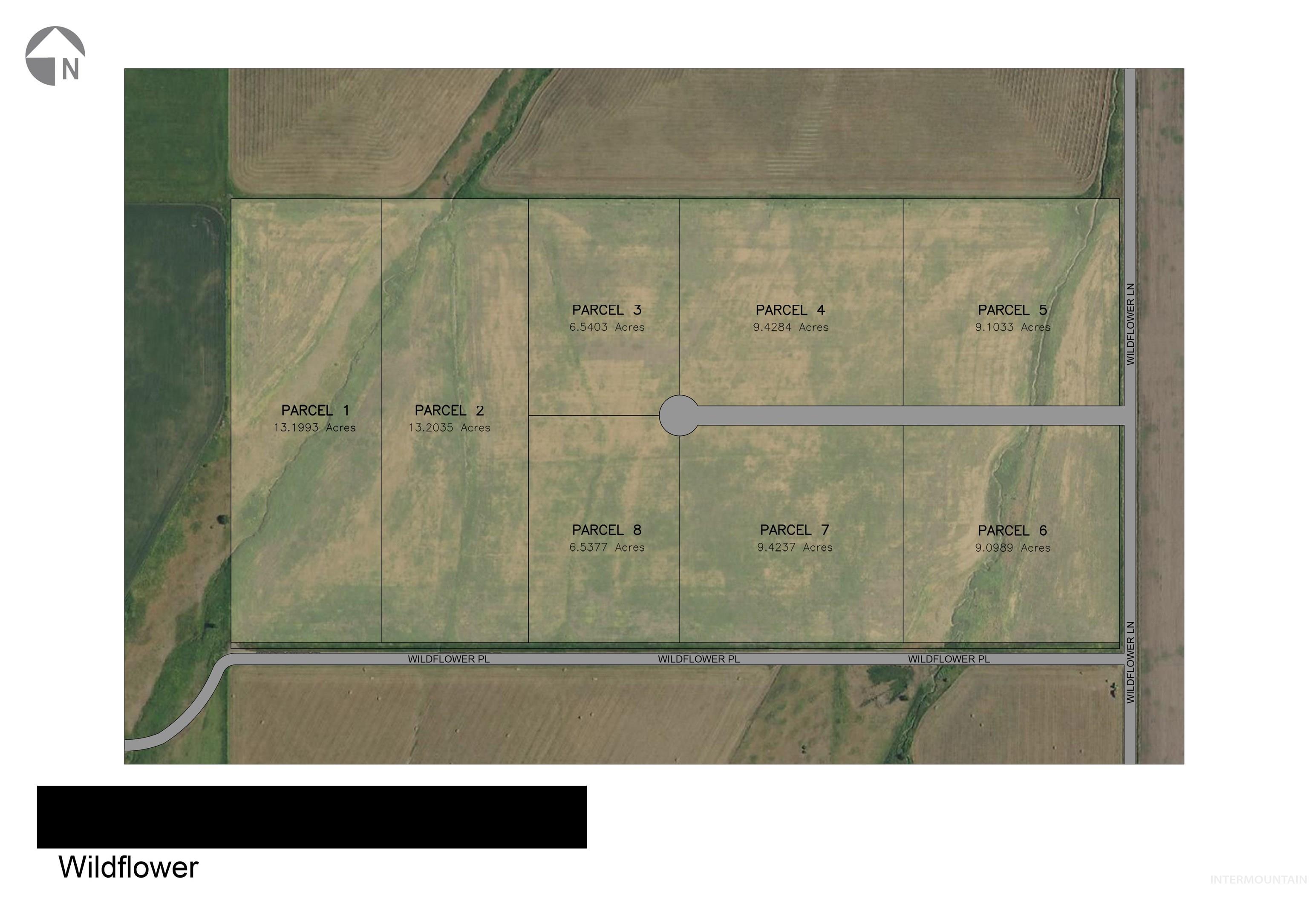
Aerial parcel map showing eight Wildflower lots, with parcel boundaries, acreage labels, and access roads.
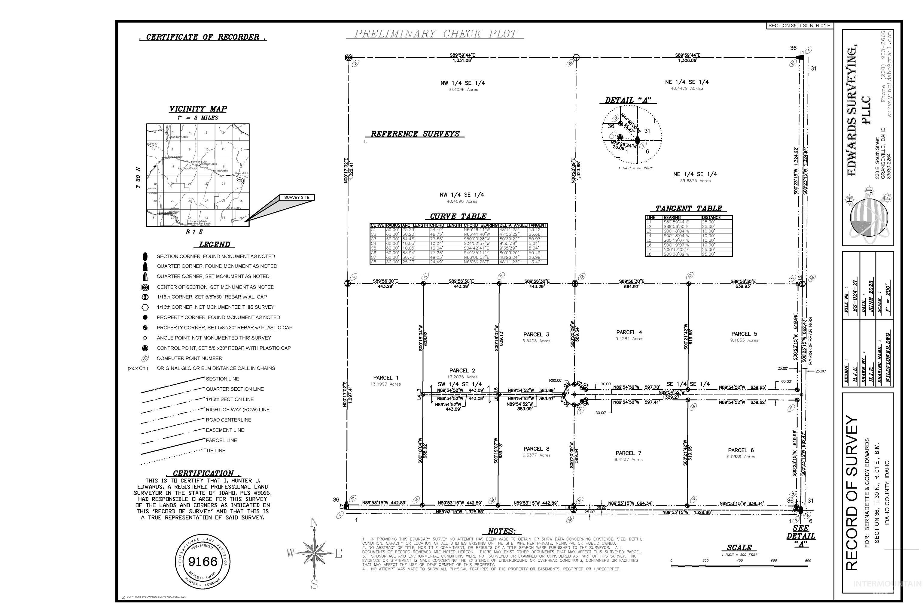
Survey plat showing Parcel 1 and surrounding parcels, with boundaries, measurements, and acreage labels.
Aerial view of Parcel 1 outlined in red, with neighboring lots, green fields, and distant mountains.
Aerial view of numbered green land parcels outlined in red, with a central access road and distant snow-capped mountains.
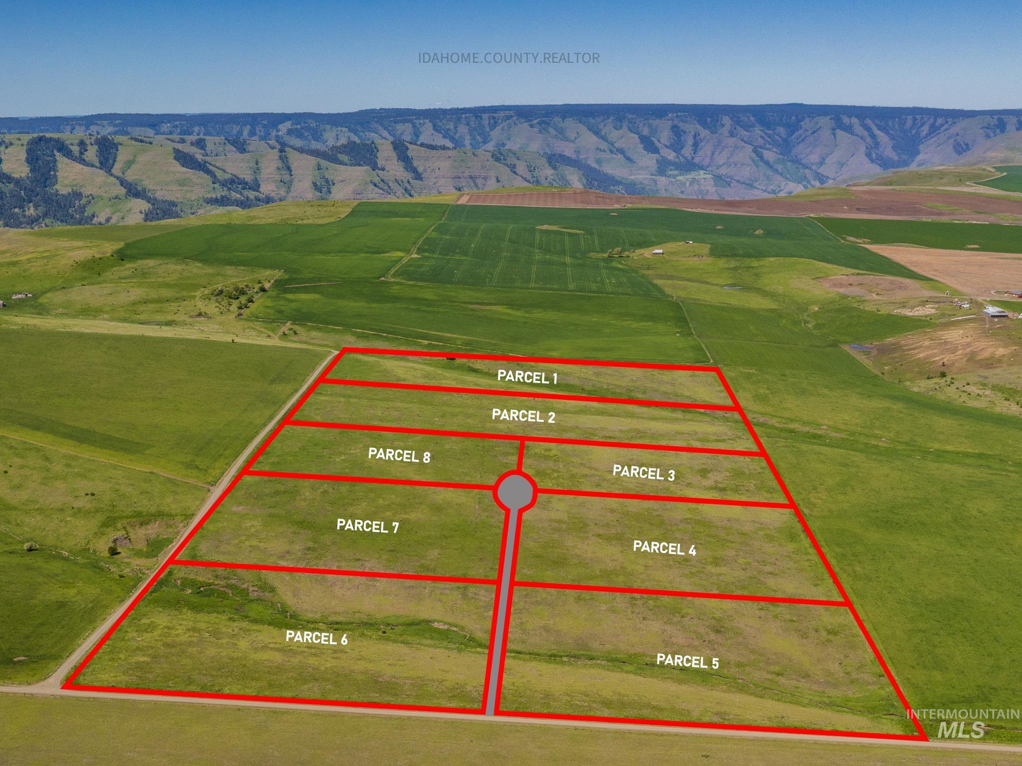
Aerial view of eight outlined rural parcels, with a shared access road, green fields, and distant canyon hills.
Aerial farmland parcels and crossing road with mountain ridges in the distance.
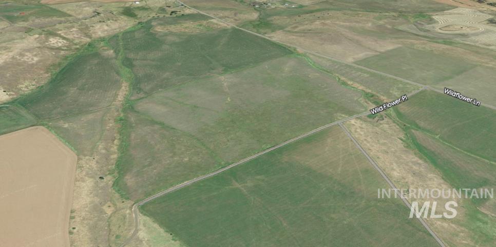
Rural parcel bordered by roads, amid open fields near Wild Flower Pl and Wildflower Ln.
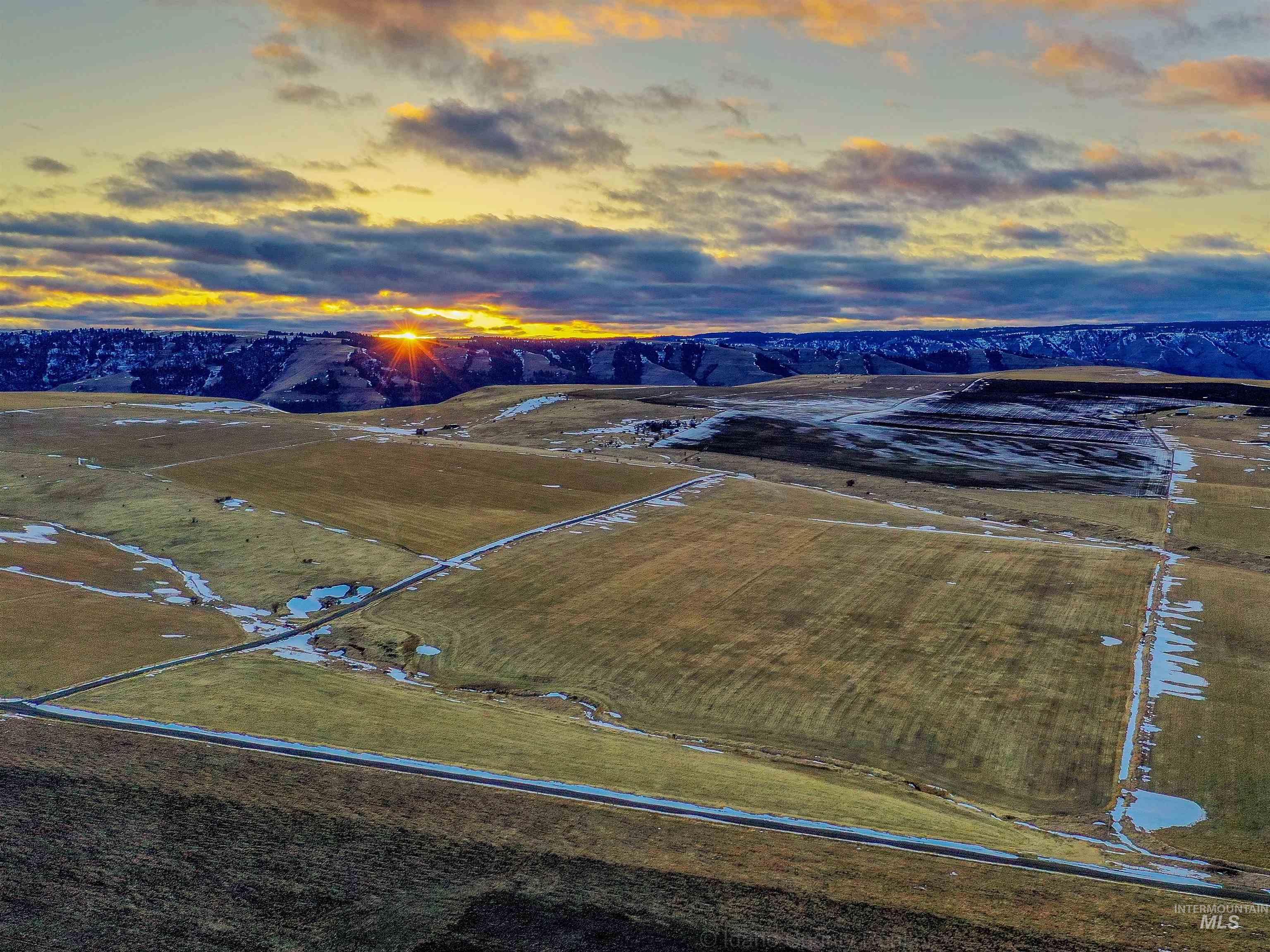
Aerial view of open acreage with access roads, snow patches, distant wooded ridges, and sunset light.
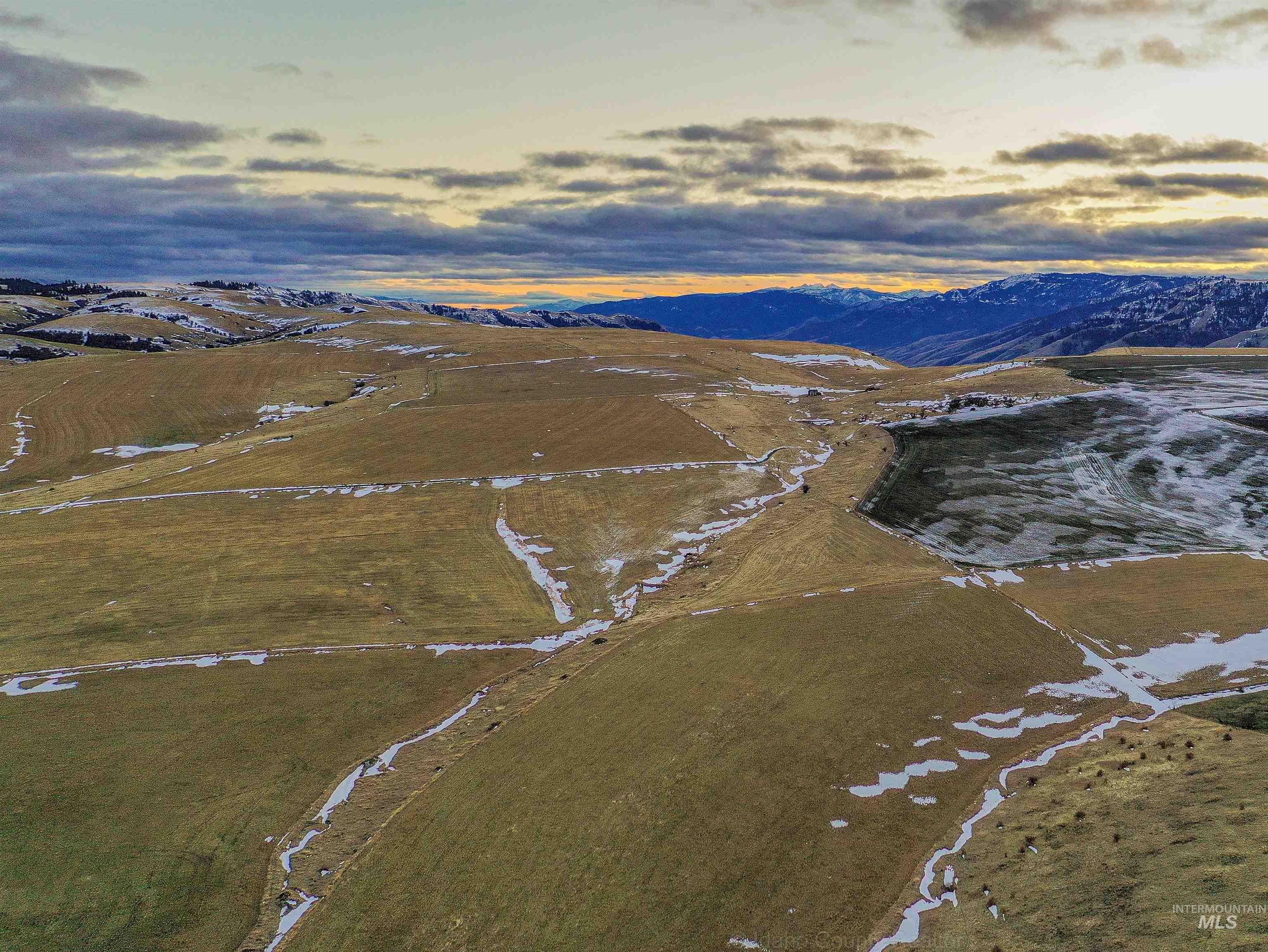
Aerial view of open land with snow patches, drainage channels, and distant mountains at sunset.
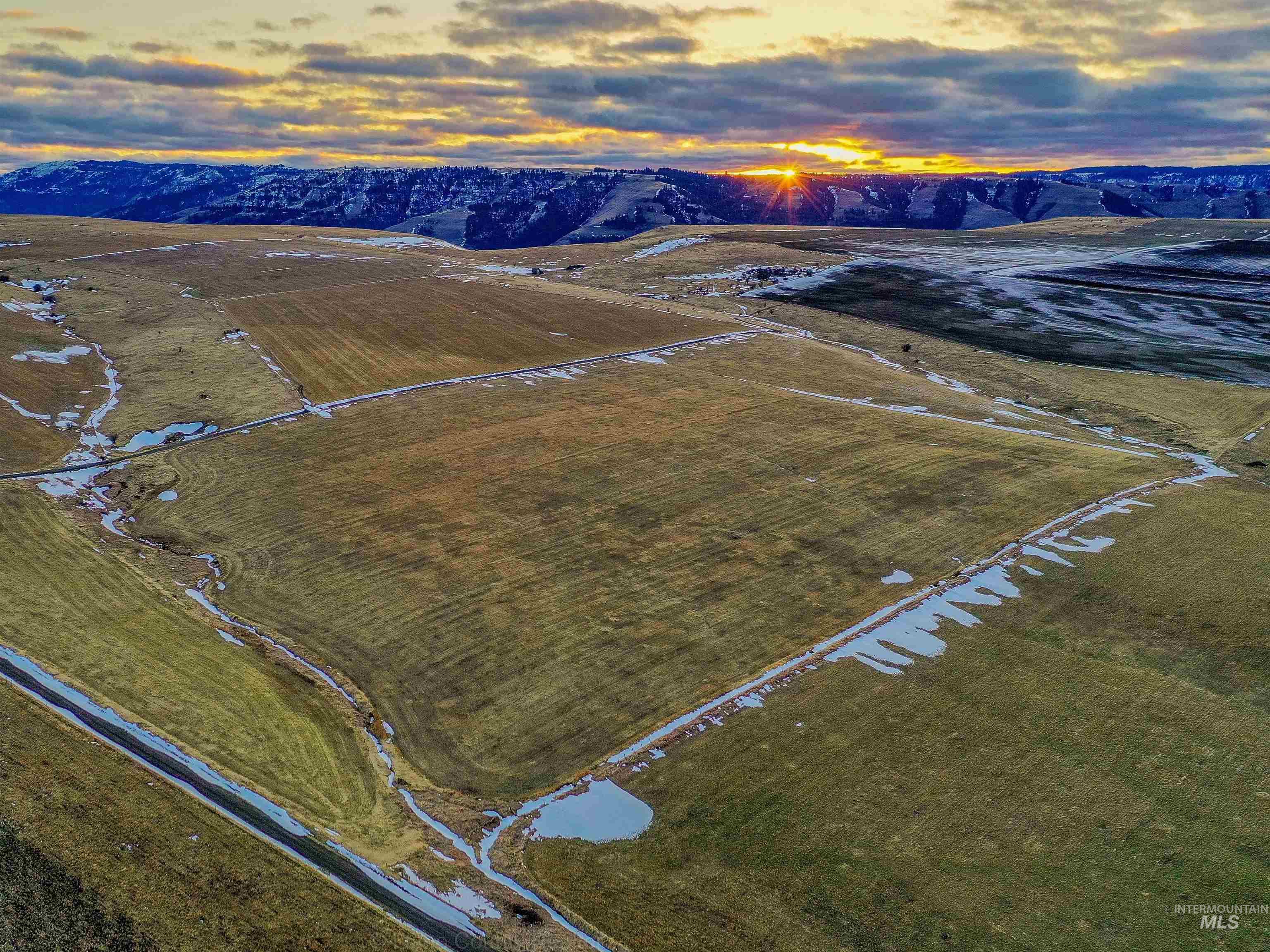
Aerial view of rolling, snow-patched grassland with a pond and distant mountain ridges.
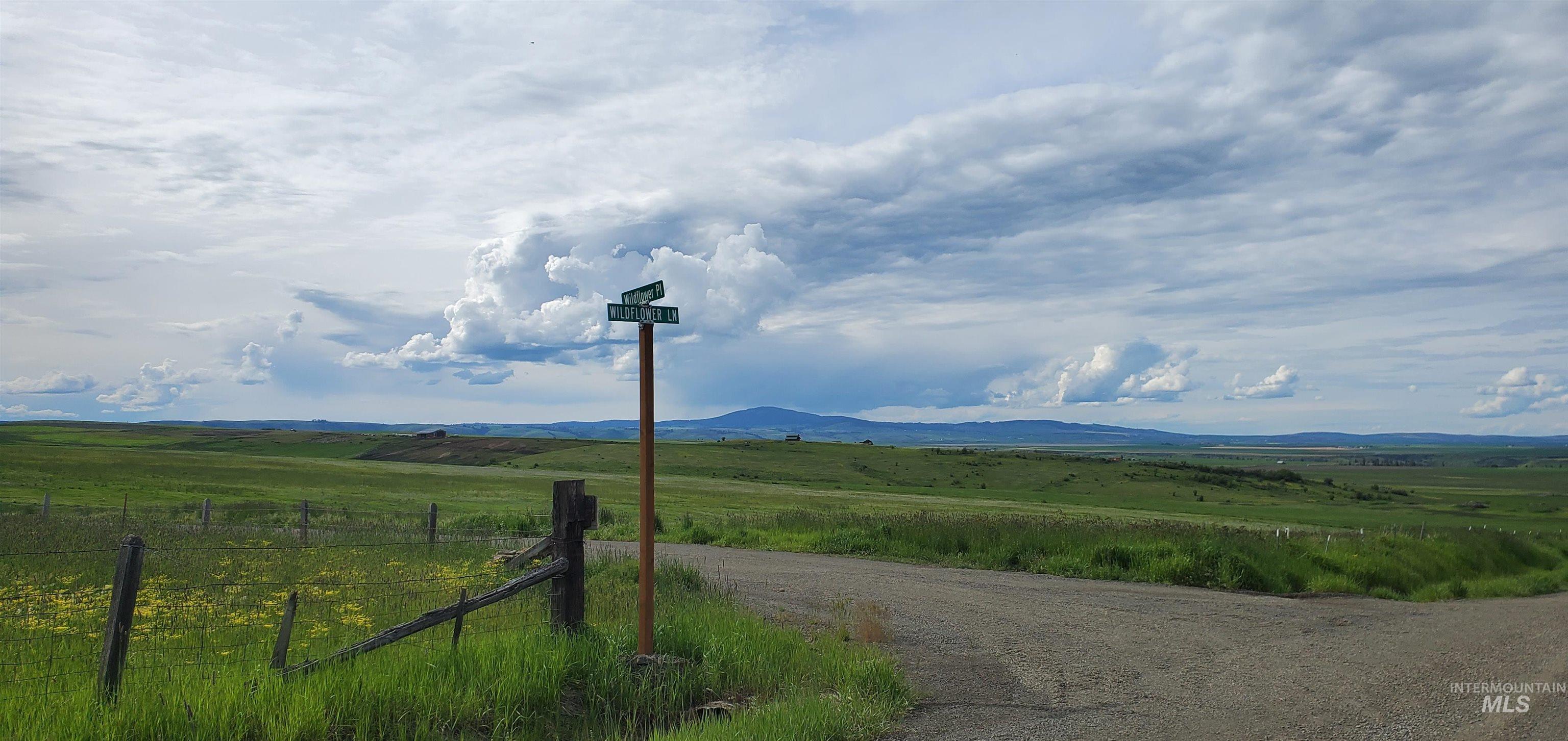
Rural land parcel at a gravel-road intersection, with a fence, rolling green fields, and distant mountains.
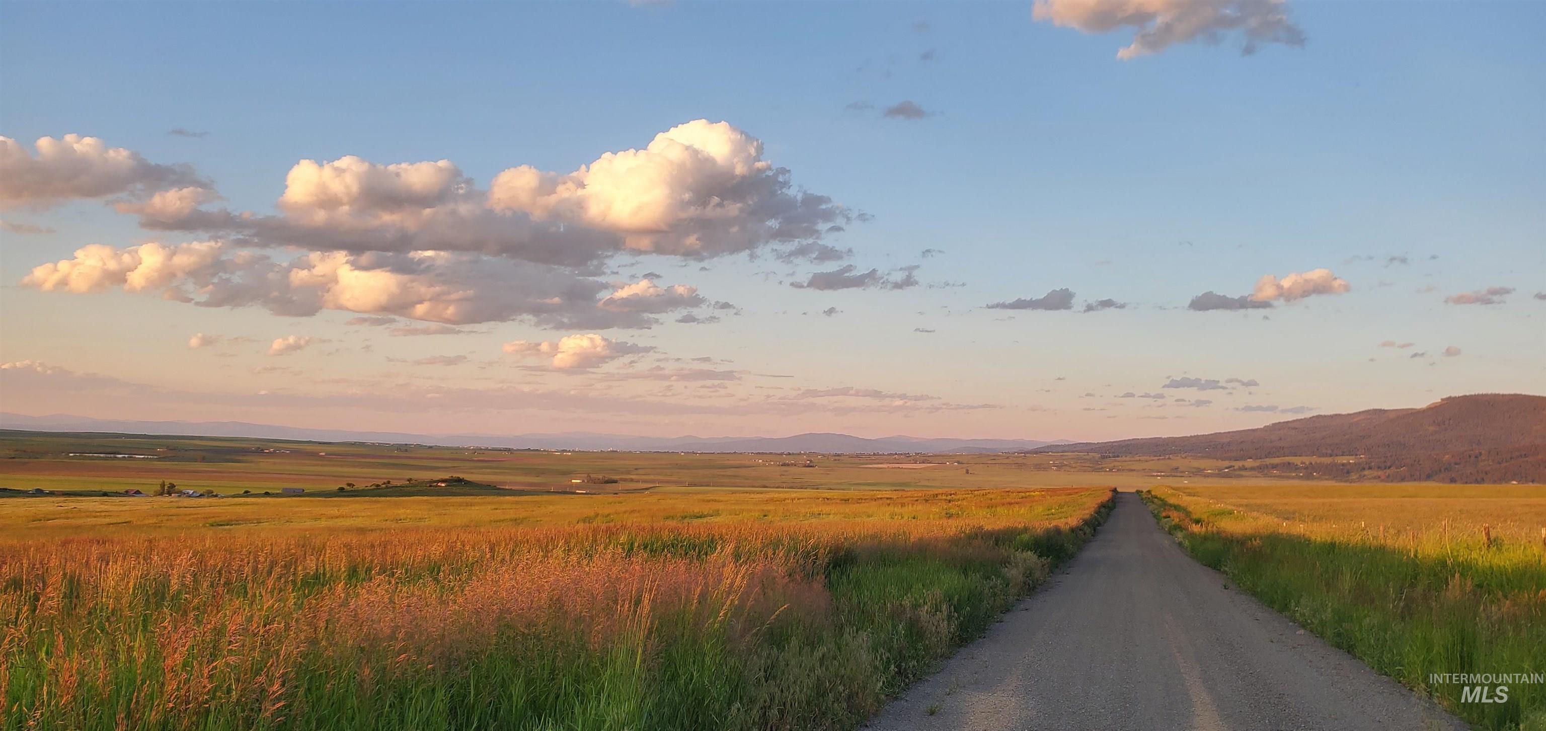
Open grassy land and distant hills beside a gravel road under golden-hour clouds.
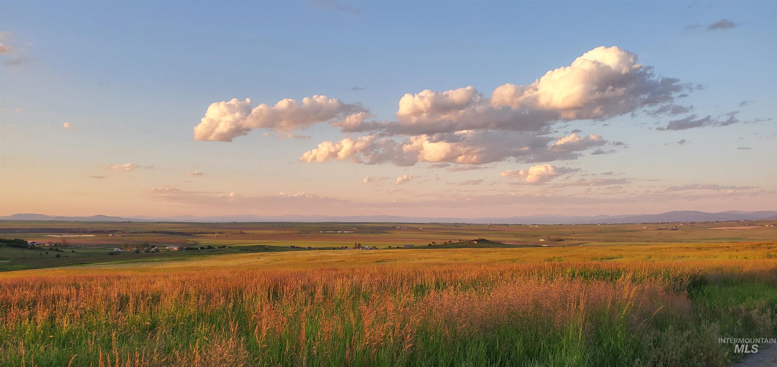
Grassy parcel overlooking farmland and distant mountains beneath golden-hour clouds.
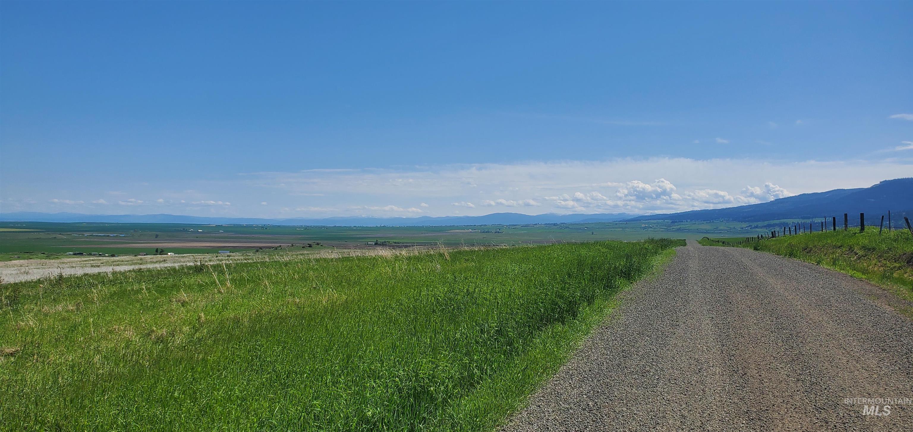
Grassy rural parcel with a gravel road and fence, overlooking distant mountains.
Grassy rural land beside a gravel road, with open fields and distant mountains.
Grassy rural parcel with rolling hills, distant mountains, and yellow flowering fields beneath a wide blue sky.
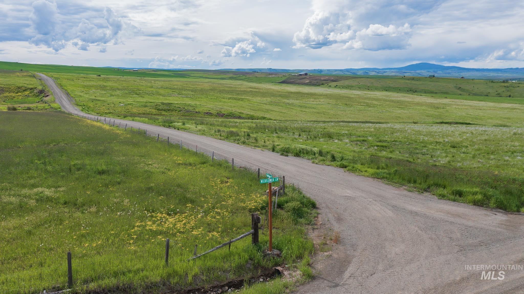
Rolling green parcel with wildflowers beside a gravel road and Wildflower Lane sign.
SEE ALL PHOTOS
Aerial view of outlined rural parcel with a creek, surrounded by green fields and distant mountains.
Aerial view of green farmland parcels with dirt roads, a small pond, and snow-dusted mountains beyond.
Aerial view of a grassy parcel outlined in white, with a creek, dirt road, farmland, and distant mountains.
Aerial view of open land with crossing dirt roads, patchwork fields, and distant mountains.
Aerial view of a long, white-outlined land parcel amid open fields, with a canyon in the distance.
Aerial farmland with green fields, dirt roads, and a rugged canyon on the horizon.
Aerial view of a grassy parcel outlined in white, with farmland and distant hills.
Open green parcel with a road across the foreground and patchwork farm fields beyond.
Aerial panorama of green hills and the Salmon River canyon, with an arrow indicating the parcel beyond the frame.
Rolling green acreage overlooking a river canyon and distant snow-dusted mountains.
Aerial parcel map showing eight Wildflower lots, with parcel boundaries, acreage labels, and access roads.
Survey plat showing Parcel 1 and surrounding parcels, with boundaries, measurements, and acreage labels.
Aerial view of Parcel 1 outlined in red, with neighboring lots, green fields, and distant mountains.
Aerial view of numbered green land parcels outlined in red, with a central access road and distant snow-capped mountains.
Aerial view of eight outlined rural parcels, with a shared access road, green fields, and distant canyon hills.
Aerial farmland parcels and crossing road with mountain ridges in the distance.
Rural parcel bordered by roads, amid open fields near Wild Flower Pl and Wildflower Ln.
Aerial view of open acreage with access roads, snow patches, distant wooded ridges, and sunset light.
Aerial view of open land with snow patches, drainage channels, and distant mountains at sunset.
Aerial view of rolling, snow-patched grassland with a pond and distant mountain ridges.
Rural land parcel at a gravel-road intersection, with a fence, rolling green fields, and distant mountains.
Open grassy land and distant hills beside a gravel road under golden-hour clouds.
Grassy parcel overlooking farmland and distant mountains beneath golden-hour clouds.
Grassy rural parcel with a gravel road and fence, overlooking distant mountains.
Grassy rural land beside a gravel road, with open fields and distant mountains.
Grassy rural parcel with rolling hills, distant mountains, and yellow flowering fields beneath a wide blue sky.
Rolling green parcel with wildflowers beside a gravel road and Wildflower Lane sign.
Courtesy of Cody Edwards, Professional Realty Services Idaho, 208-215-2373
Sold

Wildflower Parcel 1

Wildflower Parcel 1, Grangeville, ID 83530

The views will never get old from your piece of heaven. Gently sloped peaceful acreage just 15 minutes from Grangeville, ID, near the Salmon River Breaks on a county-maintained gravel road taking you to your property. High-speed internet is available. Wildlife, including elk, can be seen often. Overhead and underground power. No building permits are required, and no zoning. No CCRs or HOA. Manufactured homes are allowed. Each lot has been perc site test evaluated by the Health Dept. to be approved for an individual septic system. Cash, 1031 exchange, or most local credit unions offer land financing.

13.2 Acres lot

Cody Edwards

Cody Edwards

Bernadette (B) Edwards

Bernadette (B) Edwards

Features & Amenities

Area & Lot

  • Status Sold
  • Date Sold December 31, 2024
  • Lot Area13.2 Acres
  • MLS® ID98919207
  • TypeLand
  • NeighborhoodGrangeville
  • Elementary SchoolGrangeville
  • Middle SchoolGrangeville
  • High SchoolGrangeville
  • School DistrictMountain View District #244

Exterior

  • utilitiesNatural Gas Not Available, Electricity Connected, Overhead, Underground Utilities
  • lot features10 Acres - 199 Acres, Level, Pasture, Solar Potential, Views
  • sewerSeptic-Proposed

Financial

  • Price Upon Request

Grangeville

Explore

Cody and B Edwards

Ready to make your next big move in Grangeville or the surrounding area? We combine hands-on local expertise with relentless advocacy to help you buy or sell with complete confidence.

Follow Us on Instagram